Tarp night lights from space
Night Light of Tarp (Schleswig-Holstein) from space (Germany) Src. Average luminocity for 10x10km area is 1.1028% and for 50x50km: 2.8722%.
Analysis of Tarp night lights 2016
Square area 10x10 km:
 0%
0%90-99
0%80-89
0%70-79
0%60-69
0.5%50-59
0.5%40-49
0.5%30-39
0%20-29
0%10-19
0%0-9
98.5%Square area 50x50 km:
0.52%90-99
0.63%80-89
0.25%70-79
0.15%60-69
0.22%50-59
0.26%40-49
0.39%30-39
0.35%20-29
0.68%10-19
2.22%0-9
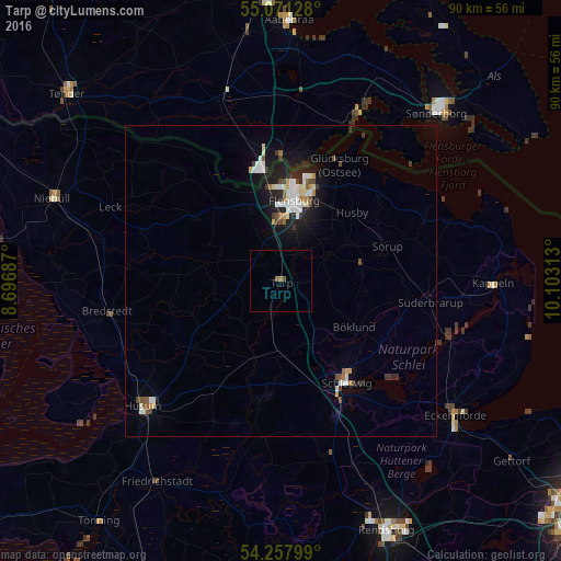
94.34%Clear (daylight) street map image can be seen on geolist.org.
Map coordinates:
55° 4' 16.6" North, 8° 41' 48.7" East
54° 40' 0" North, 9° 24' 0" East
54° 15' 28.8" North, 10° 6' 11.3" East
Some cities around Tarp sort by population:
• Flensburg
13.3 km =8.3 mi,  11°
11°
• Schleswig
19.1 km =11.9 mi,  147°
147°
• Harrislee
14.9 km =9.3 mi,  355°
355°
• Leck
29 km =18 mi,  292°
292°
• Kropp
28.8 km =17.9 mi,  164°
164°
• Handewitt
11.9 km =7.4 mi,  338°
338°
• Glücksburg
21 km =13 mi,  26°
26°
• Bredstedt
28.5 km =17.7 mi,  259°
259°
2823978 (p: 5,711)
Sources (retrieved 2019-11-25):
» Earth at Night: Flat Maps 2012, 2016