Hille night lights from space
Night Light of Hille (North Rhine-Westphalia) from space (Germany) Src. Average luminocity for 10x10km area is 0% and for 50x50km: 2.843%.
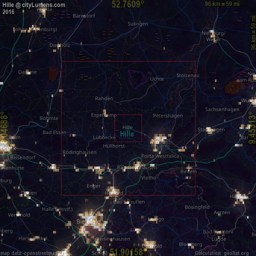
Analysis of Hille night lights 2016
Square area 10x10 km:
 0%
0%90-99
0%80-89
0%70-79
0%60-69
0%50-59
0%40-49
0%30-39
0%20-29
0%10-19
0%0-9
100%Square area 50x50 km:
0.22%90-99
0.37%80-89
0.19%70-79
0.31%60-69
0.37%50-59
0.64%40-49
0.66%30-39
0.42%20-29
0.34%10-19
1.2%0-9
95.28%Clear (daylight) street map image can be seen on geolist.org.
Map coordinates:
52° 45' 39.2" North, 8° 2' 48.8" East
52° 19' 60" North, 8° 45' 0" East
51° 54' 5.7" North, 9° 27' 11.3" East
Some cities around Hille sort by population:
• Minden
12.2 km =7.6 mi,  113°
113°
• Bad Oeynhausen
14.5 km =9 mi,  165°
165°
• Petershagen
15.3 km =9.5 mi,  72°
72°
• Espelkamp
10.3 km =6.4 mi,  302°
302°
• Lübbecke
9.7 km =6 mi,  252°
252°
• Rahden
14.5 km =9 mi,  320°
320°
• Hüllhorst
7.9 km =4.9 mi,  225°
225°
• Obernbeck
15 km =9.3 mi,  192°
192°
2904725 (p: 16,567)
Sources (retrieved 2019-11-25):
» Earth at Night: Flat Maps 2012, 2016