Hattersheim night lights from space
Night Light of Hattersheim (Hesse) from space (Germany) Src. Average luminocity for 10x10km area is 53.7143% and for 50x50km: 31.1646%.
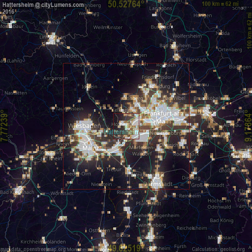
Analysis of Hattersheim night lights 2016
Square area 10x10 km:
 11.9%
11.9%90-99
13.59%80-89
4.76%70-79
5.32%60-69
6.44%50-59
6.72%40-49
7.28%30-39
9.1%20-29
16.39%10-19
15.97%0-9
2.52%Square area 50x50 km:
7.24%90-99
6.79%80-89
2.6%70-79
2.77%60-69
3.18%50-59
2.78%40-49
4.11%30-39
5.63%20-29
10.08%10-19
15.85%0-9
38.98%Clear (daylight) street map image can be seen on geolist.org.
Map coordinates:
50° 31' 39.5" North, 7° 46' 20.6" East
50° 4' 42.7" North, 8° 28' 31.9" East
49° 37' 30.7" North, 9° 10' 43.1" East
Some cities around Hattersheim sort by population:
• Hofheim am Taunus
2.3 km =1.4 mi,  304°
304°
• Kelkheim (Taunus)
6.7 km =4.2 mi,  344°
344°
• Bad Soden am Taunus
7.2 km =4.5 mi,  16°
16°
• Kelsterbach
4.3 km =2.7 mi,  116°
116°
• Raunheim
7.4 km =4.6 mi,  192°
192°
• Kriftel
0.7 km =0.4 mi,  326°
326°
• Liederbach
5 km =3.1 mi, 15°
• Sulzbach
7.2 km =4.5 mi,  31°
31°
2909240 (p: 25,035)
Sources (retrieved 2019-11-25):
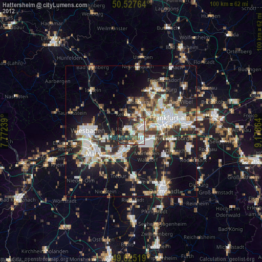
» Earth at Night: Flat Maps 2012, 2016