Kelkheim (Taunus) night lights from space
Night Light of Kelkheim (Taunus) (Hesse) from space (Germany) Src. Average luminocity for 10x10km area is 31.2634% and for 50x50km: 28.9067%.
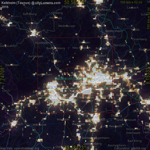
Analysis of Kelkheim (Taunus) night lights 2016
Square area 10x10 km:
 2.14%
2.14%90-99
2.14%80-89
4.81%70-79
4.41%60-69
4.55%50-59
5.21%40-49
7.89%30-39
7.89%20-29
14.57%10-19
17.51%0-9
28.88%Square area 50x50 km:
6.72%90-99
6.26%80-89
2.49%70-79
2.48%60-69
2.91%50-59
2.61%40-49
4.06%30-39
5.26%20-29
9.23%10-19
13.95%0-9
44.04%Clear (daylight) street map image can be seen on geolist.org.
Map coordinates:
50° 35' 8.1" North, 7° 44' 49.5" East
50° 8' 13.3" North, 8° 27' 0.7" East
49° 41' 3.2" North, 9° 9' 12" East
Some cities around Kelkheim (Taunus) sort by population:
• Hofheim am Taunus
5.2 km =3.2 mi,  180°
180°
• Bad Soden am Taunus
3.9 km =2.4 mi,  83°
83°
• Kronberg Tal
6.1 km =3.8 mi,  39°
39°
• Königstein im Taunus
4.9 km =3 mi,  17°
17°
• Schwalbach am Taunus
6.1 km =3.8 mi, 76°
• Eppstein
4.2 km =2.6 mi,  278°
278°
• Liederbach
3.5 km =2.2 mi,  117°
117°
• Sulzbach
5.6 km =3.5 mi,  93°
93°
2891832 (p: 26,814)
Sources (retrieved 2019-11-25):
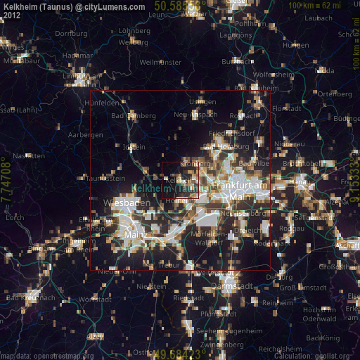
» Earth at Night: Flat Maps 2012, 2016