Hallbergmoos night lights from space
Night Light of Hallbergmoos (Bavaria) from space (Germany) Src. Average luminocity for 10x10km area is 23.5156% and for 50x50km: 15.7715%.
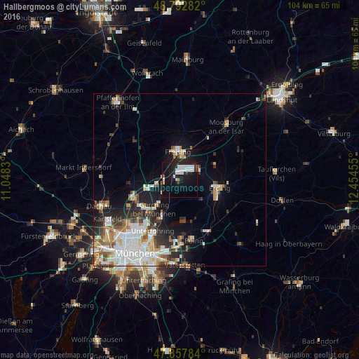
Analysis of Hallbergmoos night lights 2016
Square area 10x10 km:
 7.39%
7.39%90-99
5.82%80-89
0.99%70-79
0%60-69
0.57%50-59
0.57%40-49
0.71%30-39
0.99%20-29
7.39%10-19
31.68%0-9
43.89%Square area 50x50 km:
3.9%90-99
3.66%80-89
1.51%70-79
1.57%60-69
1.42%50-59
1.66%40-49
1.54%30-39
1.78%20-29
3.67%10-19
6.87%0-9
72.44%Clear (daylight) street map image can be seen on geolist.org.
Map coordinates:
48° 47' 34.2" North, 11° 2' 53.9" East
48° 19' 38.9" North, 11° 45' 5.1" East
47° 51' 28.2" North, 12° 27' 16.4" East
Some cities around Hallbergmoos sort by population:
• Freising
8.5 km =5.3 mi,  358°
358°
• Erding
11.7 km =7.3 mi,  101°
101°
• Neufahrn bei Freising
6.7 km =4.2 mi,  258°
258°
• Garching bei München
11.5 km =7.1 mi,  220°
220°
• Ismaning
11.6 km =7.2 mi,  205°
205°
• Eching
10.4 km =6.5 mi,  252°
252°
• Moosinning
8.9 km =5.5 mi,  129°
129°
• Oberding
7.4 km =4.6 mi, 99°
2911530 (p: 8,074)
Sources (retrieved 2019-11-25):
» Earth at Night: Flat Maps 2012, 2016