Groß-Umstadt night lights from space
Night Light of Groß-Umstadt (Hesse) from space (Germany) Src. Average luminocity for 10x10km area is 3.0201% and for 50x50km: 14.6231%.
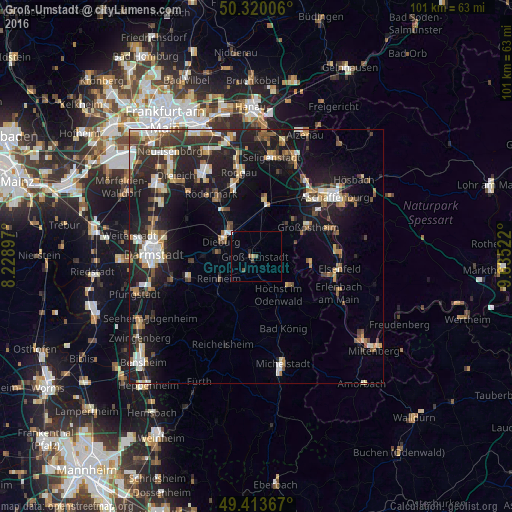
Analysis of Groß-Umstadt night lights 2016
Square area 10x10 km:
 0.27%
0.27%90-99
0.27%80-89
0.53%70-79
0%60-69
0%50-59
1.34%40-49
0.8%30-39
0%20-29
0.53%10-19
0%0-9
96.26%Square area 50x50 km:
2.04%90-99
2.29%80-89
1.31%70-79
1.49%60-69
1.92%50-59
1.72%40-49
2.11%30-39
2.44%20-29
5.29%10-19
13.07%0-9
66.32%Clear (daylight) street map image can be seen on geolist.org.
Map coordinates:
50° 19' 12.2" North, 8° 13' 44.3" East
49° 52' 8.4" North, 8° 55' 55.6" East
49° 24' 49.2" North, 9° 38' 6.8" East
Some cities around Groß-Umstadt sort by population:
• Reinheim
8.2 km =5.1 mi,  237°
237°
• Babenhausen
10.8 km =6.7 mi,  7°
7°
• Dieburg
6.9 km =4.3 mi,  297°
297°
• Münster
7.5 km =4.7 mi,  322°
322°
• Höchst im Odenwald
9.1 km =5.7 mi,  147°
147°
• Schaafheim
8.3 km =5.2 mi,  42°
42°
• Eppertshausen
10.7 km =6.6 mi,  328°
328°
• Mömlingen
10.9 km =6.8 mi,  95°
95°
2914929 (p: 21,758)
Sources (retrieved 2019-11-25):
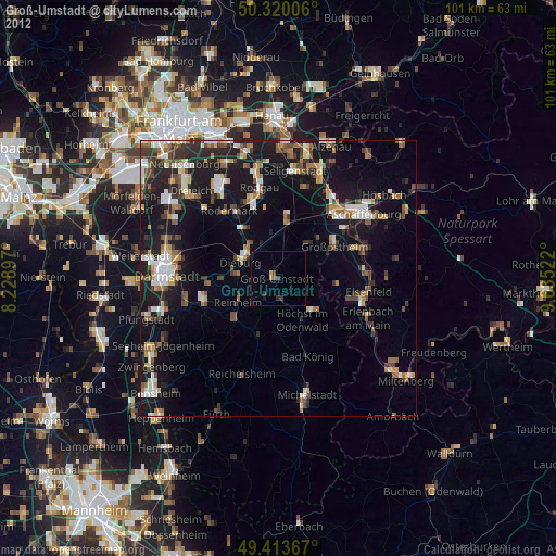
» Earth at Night: Flat Maps 2012, 2016