Süsel night lights from space
Night Light of Süsel (Schleswig-Holstein) from space (Germany) Src. Average luminocity for 10x10km area is 0.8586% and for 50x50km: 3.4943%.
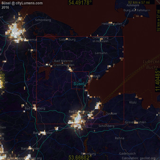
Analysis of Süsel night lights 2016
Square area 10x10 km:
 0%
0%90-99
0%80-89
0.25%70-79
0%60-69
0%50-59
0%40-49
0.51%30-39
0%20-29
0.51%10-19
0%0-9
98.74%Square area 50x50 km:
0.56%90-99
0.61%80-89
0.3%70-79
0.27%60-69
0.43%50-59
0.44%40-49
0.67%30-39
0.52%20-29
0.84%10-19
2.25%0-9
93.1%Clear (daylight) street map image can be seen on geolist.org.
Map coordinates:
54° 29' 30.4" North, 9° 59' 55" East
54° 4' 52.9" North, 10° 42' 6.2" East
53° 40' 0.6" North, 11° 24' 17.5" East
Some cities around Süsel sort by population:
• Eutin
9 km =5.6 mi,  316°
316°
• Neustadt in Holstein
7.9 km =4.9 mi,  68°
68°
• Ratekau
14.8 km =9.2 mi,  171°
171°
• Travemünde
17.2 km =10.7 mi,  139°
139°
• Scharbeutz
6.2 km =3.9 mi,  149°
149°
• Malente
13.7 km =8.5 mi, 317°
• Timmendorfer Strand
10.7 km =6.6 mi, 152°
• Ahrensbök
11.6 km =7.2 mi,  225°
225°
2824564 (p: 5,338)
Sources (retrieved 2019-11-25):
» Earth at Night: Flat Maps 2012, 2016