Forchtenberg night lights from space
Night Light of Forchtenberg (Baden-Württemberg) from space (Germany) Src. Average luminocity for 10x10km area is 0.0869% and for 50x50km: 3.0926%.
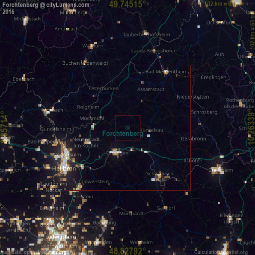
Analysis of Forchtenberg night lights 2016
Square area 10x10 km:
 0%
0%90-99
0%80-89
0%70-79
0%60-69
0%50-59
0%40-49
0%30-39
0%20-29
0%10-19
0%0-9
100%Square area 50x50 km:
0.44%90-99
0.44%80-89
0.29%70-79
0.3%60-69
0.22%50-59
0.44%40-49
0.56%30-39
0.59%20-29
0.67%10-19
2.18%0-9
93.88%Clear (daylight) street map image can be seen on geolist.org.
Map coordinates:
49° 44' 42.5" North, 8° 51' 25.7" East
49° 17' 19.2" North, 9° 33' 36.9" East
48° 49' 40.5" North, 10° 15' 48.2" East
Some cities around Forchtenberg sort by population:
• Öhringen
10.7 km =6.6 mi,  201°
201°
• Künzelsau
9 km =5.6 mi,  94°
94°
• Bretzfeld
15 km =9.3 mi,  216°
216°
• Pfedelbach
12.9 km =8 mi, 198°
• Möckmühl
15.2 km =9.4 mi,  285°
285°
• Neuenstein
9.4 km =5.8 mi,  171°
171°
• Ingelfingen
6.8 km =4.2 mi,  79°
79°
• Kupferzell
11.6 km =7.2 mi,  125°
125°
2925905 (p: 5,105)
Sources (retrieved 2019-11-25):
» Earth at Night: Flat Maps 2012, 2016