Florstadt night lights from space
Night Light of Florstadt (Hesse) from space (Germany) Src. Average luminocity for 10x10km area is 0.754% and for 50x50km: 14.4801%.
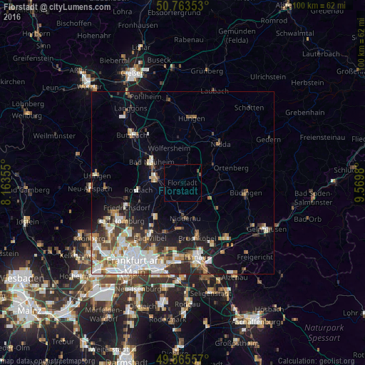
Analysis of Florstadt night lights 2016
Square area 10x10 km:
 0%
0%90-99
0%80-89
0%70-79
0%60-69
0%50-59
0.67%40-49
0.4%30-39
0%20-29
0%10-19
0%0-9
98.93%Square area 50x50 km:
3.37%90-99
3.2%80-89
1.28%70-79
1.36%60-69
1.88%50-59
1.29%40-49
1.84%30-39
2%20-29
3.32%10-19
5.14%0-9
75.31%Clear (daylight) street map image can be seen on geolist.org.
Map coordinates:
50° 45' 48.7" North, 8° 9' 48.8" East
50° 19' 0" North, 8° 52' 0" East
49° 51' 56.1" North, 9° 34' 11.3" East
Some cities around Florstadt sort by population:
• Bad Nauheim
10.5 km =6.5 mi,  300°
300°
• Friedberg
8.2 km =5.1 mi,  286°
286°
• Nidderau
8.7 km =5.4 mi,  179°
179°
• Altenstadt
6.4 km =4 mi,  120°
120°
• Wölfersheim
9.9 km =6.2 mi,  339°
339°
• Reichelsheim
4.4 km =2.7 mi,  7°
7°
• Echzell
8.1 km =5 mi, 9°
• Ranstadt
9.5 km =5.9 mi,  61°
61°
3208053 (p: 8,905)
Sources (retrieved 2019-11-25):
» Earth at Night: Flat Maps 2012, 2016