Bad Nauheim night lights from space
Night Light of Bad Nauheim (Hesse) from space (Germany) Src. Average luminocity for 10x10km area is 13.0266% and for 50x50km: 10.0297%.
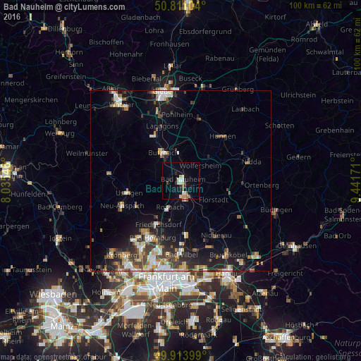
Analysis of Bad Nauheim night lights 2016
Square area 10x10 km:
 1.12%
1.12%90-99
2.38%80-89
2.66%70-79
1.12%60-69
0.42%50-59
0.98%40-49
2.52%30-39
1.26%20-29
2.1%10-19
5.32%0-9
80.11%Square area 50x50 km:
1.36%90-99
1.56%80-89
0.96%70-79
1.16%60-69
1.46%50-59
1.08%40-49
1.7%30-39
1.68%20-29
2.88%10-19
6.28%0-9
79.89%Clear (daylight) street map image can be seen on geolist.org.
Map coordinates:
50° 48' 39.7" North, 8° 2' 7.7" East
50° 21' 52.7" North, 8° 44' 18.9" East
49° 54' 50.4" North, 9° 26' 30.2" East
Some cities around Bad Nauheim sort by population:
• Friedberg
3.3 km =2.1 mi,  157°
157°
• Butzbach
9.1 km =5.7 mi,  328°
328°
• Rosbach vor der Höhe
7.6 km =4.7 mi,  206°
206°
• Wölfersheim
6.8 km =4.2 mi,  54°
54°
• Florstadt
10.5 km =6.5 mi,  120°
120°
• Reichelsheim
9.7 km =6 mi,  95°
95°
• Ober-Mörlen
3.5 km =2.2 mi,  286°
286°
• Münzenberg
10.2 km =6.3 mi,  14°
14°
2953395 (p: 30,291)
Sources (retrieved 2019-11-25):
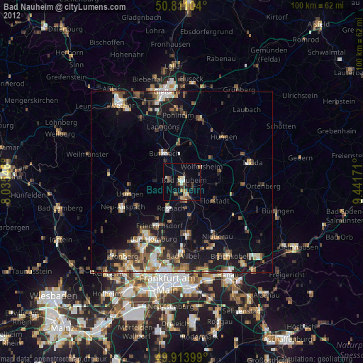
» Earth at Night: Flat Maps 2012, 2016