Flensburg night lights from space
Night Light of Flensburg (Schleswig-Holstein) from space (Germany) Src. Average luminocity for 10x10km area is 38.7393% and for 50x50km: 2.8423%.
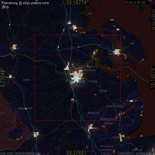
Analysis of Flensburg night lights 2016
Square area 10x10 km:
 8.52%
8.52%90-99
10.65%80-89
4.76%70-79
1.63%60-69
3.51%50-59
2.01%40-49
3.76%30-39
4.51%20-29
13.16%10-19
28.7%0-9
18.8%Square area 50x50 km:
0.52%90-99
0.6%80-89
0.28%70-79
0.11%60-69
0.24%50-59
0.2%40-49
0.33%30-39
0.48%20-29
0.74%10-19
2.21%0-9
94.3%Clear (daylight) street map image can be seen on geolist.org.
Map coordinates:
55° 11' 15.9" North, 8° 44' 11.3" East
54° 47' 3.5" North, 9° 26' 22.6" East
54° 22' 36.5" North, 10° 8' 33.9" East
Some cities around Flensburg sort by population:
• Sønderborg, DK
26.3 km =16.3 mi,  58°
58°
• Schleswig
30.2 km =18.8 mi,  165°
165°
• Aabenraa, DK
28.9 km =18 mi,  357°
357°
• Harrislee
4 km =2.5 mi,  295°
295°
• Leck
29.3 km =18.2 mi,  266°
266°
• Handewitt
7.1 km =4.4 mi,  253°
253°
• Glücksburg
9 km =5.6 mi,  50°
50°
• Tarp
13.3 km =8.3 mi,  191°
191°
2926271 (p: 85,838)
Sources (retrieved 2019-11-25):
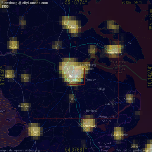
» NASA, Earths city lights 1995
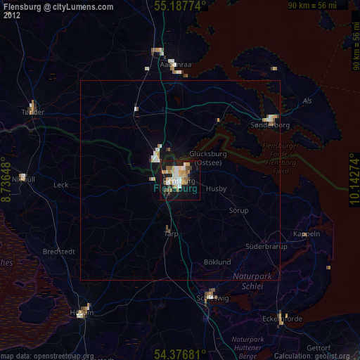
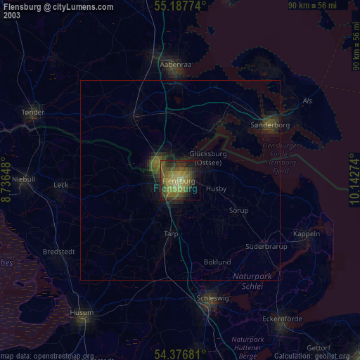
» NASA city lights 2003
» Earth at Night: Flat Maps 2012, 2016