Deizisau night lights from space
Night Light of Deizisau (Baden-Württemberg) from space (Germany) Src. Average luminocity for 10x10km area is 34.7976% and for 50x50km: 25.5733%.
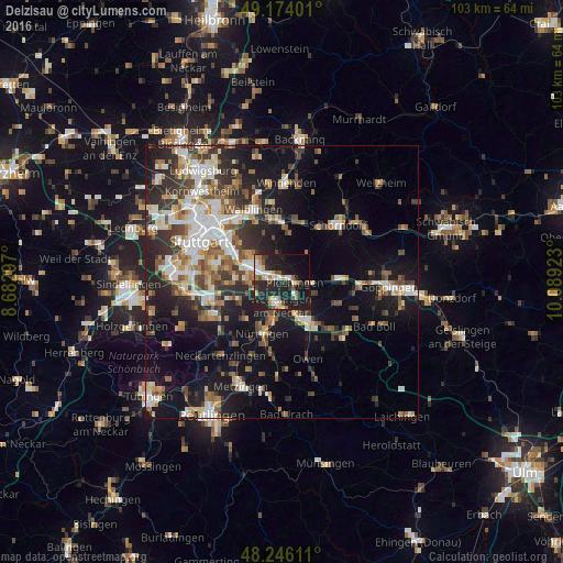
Analysis of Deizisau night lights 2016
Square area 10x10 km:
 5.06%
5.06%90-99
6.1%80-89
2.08%70-79
6.4%60-69
3.13%50-59
1.49%40-49
5.65%30-39
3.13%20-29
22.32%10-19
31.99%0-9
12.65%Square area 50x50 km:
4.16%90-99
4.83%80-89
2.1%70-79
2.72%60-69
3.73%50-59
3.37%40-49
3.85%30-39
4.15%20-29
7.37%10-19
16.83%0-9
46.9%Clear (daylight) street map image can be seen on geolist.org.
Map coordinates:
49° 10' 26.4" North, 8° 40' 58.7" East
48° 42' 43.9" North, 9° 23' 10" East
48° 14' 46" North, 10° 5' 21.2" East
Some cities around Deizisau sort by population:
• Wendlingen am Neckar
4.6 km =2.9 mi,  188°
188°
• Plochingen
2.5 km =1.6 mi,  93°
93°
• Wernau
3 km =1.9 mi,  134°
134°
• Denkendorf
5.4 km =3.4 mi,  250°
250°
• Köngen
3.5 km =2.2 mi,  203°
203°
• Reichenbach an der Fils
5.7 km =3.5 mi, 92°
• Altbach
1.2 km =0.7 mi,  341°
341°
• Baltmannsweiler
5.7 km =3.5 mi,  54°
54°
2938391 (p: 6,608)
Sources (retrieved 2019-11-25):
» Earth at Night: Flat Maps 2012, 2016