Bruchsal night lights from space
Night Light of Bruchsal (Baden-Württemberg) from space (Germany) Src. Average luminocity for 10x10km area is 28.7241% and for 50x50km: 19.8827%.
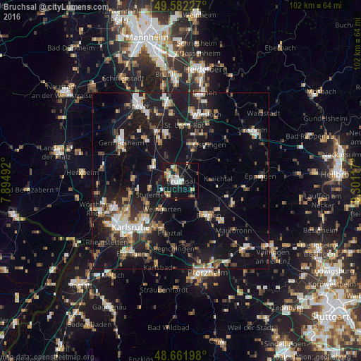
Analysis of Bruchsal night lights 2016
Square area 10x10 km:
 5.04%
5.04%90-99
4.48%80-89
5.04%70-79
2.52%60-69
3.08%50-59
2.8%40-49
3.08%30-39
1.26%20-29
3.92%10-19
39.5%0-9
29.27%Square area 50x50 km:
2.58%90-99
3.17%80-89
1.69%70-79
1.74%60-69
2.34%50-59
2.39%40-49
2.85%30-39
2.84%20-29
6.14%10-19
22.5%0-9
51.74%Clear (daylight) street map image can be seen on geolist.org.
Map coordinates:
49° 34' 56.2" North, 7° 53' 41.7" East
49° 7' 27.3" North, 8° 35' 52.9" East
48° 39' 43.1" North, 9° 18' 4.2" East
Some cities around Bruchsal sort by population:
• Kraichtal
10.1 km =6.3 mi,  76°
76°
• Ubstadt-Weiher
4.9 km =3 mi,  29°
29°
• Graben-Neudorf
9 km =5.6 mi,  301°
301°
• Weingarten
9.3 km =5.8 mi,  213°
213°
• Karlsdorf-Neuthard
5.1 km =3.2 mi,  283°
283°
• Forst
4 km =2.5 mi,  341°
341°
• Jöhlingen
10.4 km =6.5 mi,  189°
189°
• Hambrücken
8.4 km =5.2 mi,  330°
330°
2943560 (p: 42,785)
Sources (retrieved 2019-11-25):
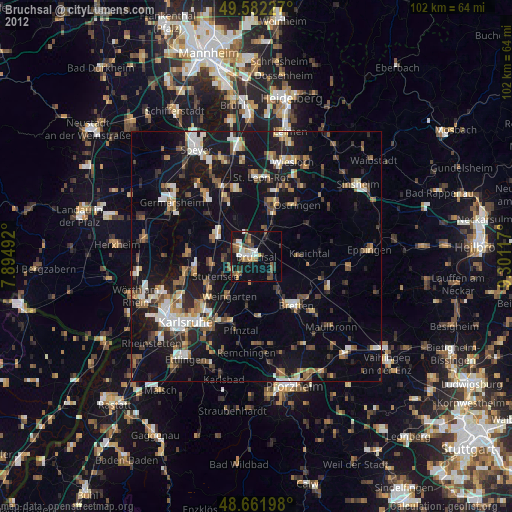
» Earth at Night: Flat Maps 2012, 2016