Borkum night lights from space
Night Light of Borkum (Lower Saxony) from space (Germany) Src. Average luminocity for 10x10km area is 0.447% and for 50x50km: 0.582%.
Analysis of Borkum night lights 2016
Square area 10x10 km:
 0%
0%90-99
0%80-89
0%70-79
0%60-69
0%50-59
0%40-49
0.63%30-39
0.38%20-29
0%10-19
0%0-9
98.99%Square area 50x50 km:
0.14%90-99
0.1%80-89
0.04%70-79
0.03%60-69
0.09%50-59
0.02%40-49
0.05%30-39
0.07%20-29
0.01%10-19
0.06%0-9
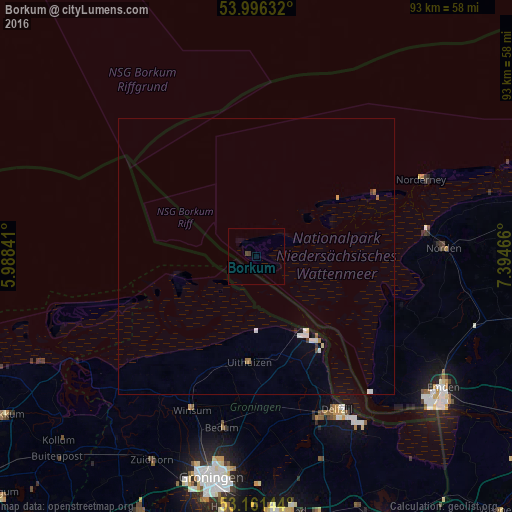
99.38%Clear (daylight) street map image can be seen on geolist.org.
Map coordinates:
53° 59' 46.8" North, 5° 59' 18.3" East
53° 34' 51.4" North, 6° 41' 29.5" East
53° 9' 41.2" North, 7° 23' 40.8" East
Some cities around Borkum sort by population:
• Delfzijl, NL
31.7 km =19.7 mi,  151°
151°
• Norden
34 km =21.1 mi,  87°
87°
• Appingedam, NL
30.9 km =19.2 mi,  159°
159°
• Bedum, NL
31.7 km =19.7 mi,  190°
190°
• Hinte
37.3 km =23.2 mi,  119°
119°
• Selwerd, NL
39.5 km =24.5 mi, 193°
• Norderney
33.9 km =21.1 mi,  65°
65°
• Hage
39.3 km =24.4 mi, 86°
2946206 (p: 5,186)
Sources (retrieved 2019-11-25):
» Earth at Night: Flat Maps 2012, 2016