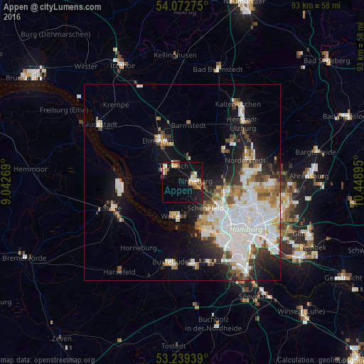
Appen night lights from space
Night Light of Appen (Schleswig-Holstein) from space (Germany) Src. Average luminocity for 10x10km area is 19.529% and for 50x50km: 20.9944%.
Analysis of Appen night lights 2016
Square area 10x10 km:
 1.64%
1.64%90-99
3.66%80-89
2.15%70-79
4.17%60-69
1.89%50-59
1.64%40-49
2.27%30-39
0.25%20-29
1.39%10-19
20.58%0-9
60.35%Square area 50x50 km:
6.76%90-99
4.99%80-89
1.44%70-79
1.77%60-69
2.18%50-59
1.57%40-49
2.13%30-39
1.85%20-29
3.15%10-19
8.37%0-9
65.8%Clear (daylight) street map image can be seen on geolist.org.
Map coordinates:
54° 4' 21.9" North, 9° 2' 33.7" East
53° 39' 29.3" North, 9° 44' 45" East
53° 14' 21.8" North, 10° 26' 56.2" East
Some cities around Appen sort by population:
• Pinneberg
3 km =1.9 mi,  70°
70°
• Lurup
11.3 km =7 mi,  130°
130°
• Wedel
8.8 km =5.5 mi,  200°
200°
• Eidelstedt
12 km =7.5 mi,  118°
118°
• Uetersen
6.3 km =3.9 mi,  301°
301°
• Halstenbek
7.4 km =4.6 mi,  111°
111°
• Rellingen
4.8 km =3 mi,  100°
100°
• Tornesch
5 km =3.1 mi,  337°
337°
2955745 (p: 5,838)
Sources (retrieved 2019-11-25):
» Earth at Night: Flat Maps 2012, 2016