Eidelstedt night lights from space
Night Light of Eidelstedt (Hamburg) from space (Germany) Src. Average luminocity for 10x10km area is 76.8169% and for 50x50km: 24.7263%.
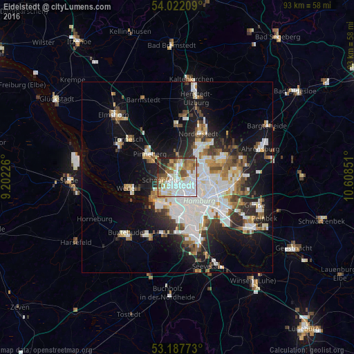
Analysis of Eidelstedt night lights 2016
Square area 10x10 km:
 28.41%
90-99
19.44%80-89
7.32%70-79
7.2%60-69
11.62%50-59
7.7%40-49
7.7%30-39
2.9%20-29
6.19%10-19
1.52%0-9
0%Square area 50x50 km:
7.25%90-99
5.46%80-89
1.66%70-79
2.2%60-69
2.71%50-59
2.35%40-49
2.7%30-39
2.4%20-29
4.7%10-19
12.36%0-9
56.21%Clear (daylight) street map image can be seen on geolist.org.
Map coordinates:
54° 1' 19.5" North, 9° 12' 8.1" East
53° 36' 25.1" North, 9° 54' 19.4" East
53° 11' 15.8" North, 10° 36' 30.6" East
Some cities around Eidelstedt sort by population:
• Hamburg-Nord
5.5 km =3.4 mi,  110°
110°
• Eimsbüttel
5 km =3.1 mi,  137°
137°
• Altona
6.6 km =4.1 mi,  163°
163°
• Winterhude
6.3 km =3.9 mi,  97°
97°
• Lurup
2.5 km =1.6 mi,  229°
229°
• Ottensen
6.4 km =4 mi,  173°
173°
• Stellingen
2.3 km =1.4 mi, 136°
• Halstenbek
4.7 km =2.9 mi,  308°
308°
7274677 (p: 30,100)
Sources (retrieved 2019-11-25):
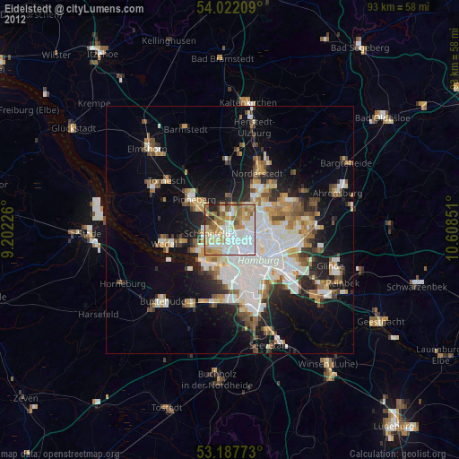
» Earth at Night: Flat Maps 2012, 2016