Ansbach night lights from space
Night Light of Ansbach (Bavaria) from space (Germany) Src. Average luminocity for 10x10km area is 16.2206% and for 50x50km: 2.2796%.
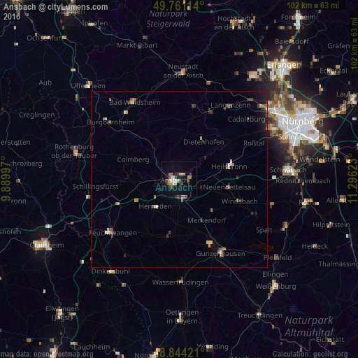
Analysis of Ansbach night lights 2016
Square area 10x10 km:
 2.67%
2.67%90-99
2.14%80-89
1.34%70-79
2.41%60-69
0.8%50-59
2.67%40-49
3.07%30-39
1.2%20-29
1.07%10-19
10.16%0-9
72.46%Square area 50x50 km:
0.2%90-99
0.25%80-89
0.22%70-79
0.28%60-69
0.32%50-59
0.34%40-49
0.5%30-39
0.31%20-29
0.41%10-19
1.24%0-9
95.93%Clear (daylight) street map image can be seen on geolist.org.
Map coordinates:
49° 45' 40.1" North, 9° 53' 23.9" East
49° 18' 17.3" North, 10° 35' 35.2" East
48° 50' 39.2" North, 11° 17' 46.4" East
Some cities around Ansbach sort by population:
• Heilsbronn
14.5 km =9 mi,  76°
76°
• Neuendettelsau
14 km =8.7 mi,  99°
99°
• Herrieden
9.9 km =6.2 mi,  221°
221°
• Adelsdorf
19.6 km =12.2 mi,  19°
19°
• Windsbach
18.1 km =11.2 mi,  110°
110°
• Dietenhofen
12.7 km =7.9 mi,  33°
33°
• Leutershausen
13.2 km =8.2 mi,  267°
267°
• Petersaurach
11.4 km =7.1 mi,  92°
92°
2955936 (p: 31,839)
Sources (retrieved 2019-11-25):
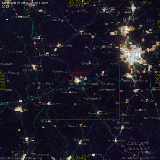
» Earth at Night: Flat Maps 2012, 2016