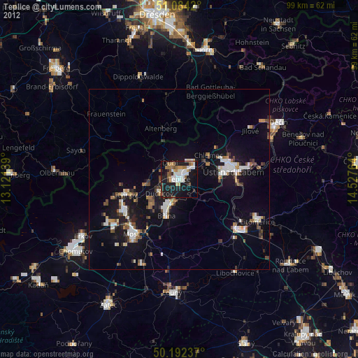
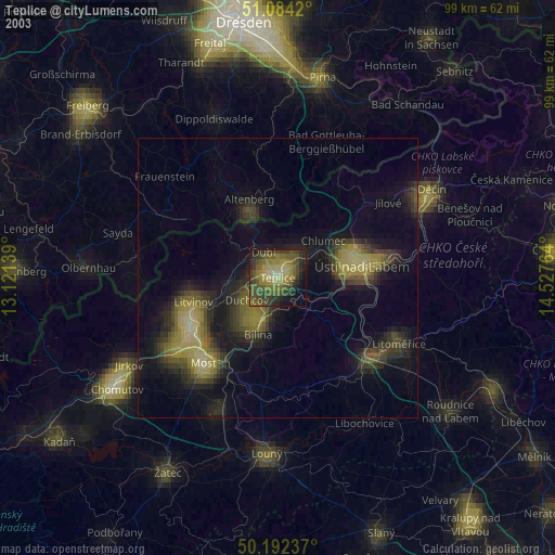
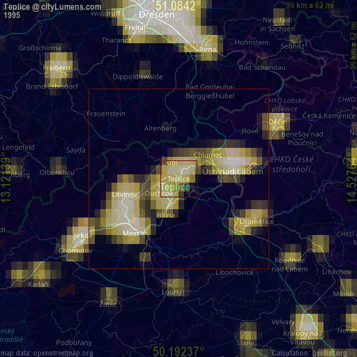
Teplice night lights from space
Night Light of Teplice (Ústecký kraj) from space (Czech Republic) Src. Average luminocity for 10x10km area is 35.7059% and for 50x50km: 8.5687%.

Analysis of Teplice night lights 2016
Square area 10x10 km:
 8.42%
8.42%90-99
8.82%80-89
1.74%70-79
1.6%60-69
4.41%50-59
3.21%40-49
1.07%30-39
3.74%20-29
12.97%10-19
41.84%0-9
12.17%Square area 50x50 km:
1.62%90-99
1.68%80-89
0.6%70-79
0.64%60-69
0.59%50-59
0.72%40-49
0.81%30-39
0.62%20-29
2.11%10-19
9.63%0-9
80.98%Clear (daylight) street map image can be seen on geolist.org.
Map coordinates:
51° 5' 3.1" North, 13° 7' 17" East
50° 38' 25.4" North, 13° 49' 28.2" East
50° 11' 32.5" North, 14° 31' 39.5" East
Some cities around Teplice sort by population:
• Ústí nad Labem
14.8 km =9.2 mi,  81°
81°
• Litvínov
15.1 km =9.4 mi,  254°
254°
• Bílina
10.8 km =6.7 mi,  198°
198°
• Bílina Kyselka
10.8 km =6.7 mi, 202°
• Krupka
5.4 km =3.4 mi,  25°
25°
• Duchcov
6.9 km =4.3 mi,  233°
233°
• Dubí
5.7 km =3.5 mi,  331°
331°
• Altenberg, DE
14.8 km =9.2 mi,  340°
340°
3064288 (p: 51,223)
Sources (retrieved 2019-11-25):
» NASA, Earths city lights 1995
» NASA city lights 2003
» Earth at Night: Flat Maps 2012, 2016