Litvínov night lights from space
Night Light of Litvínov (Ústecký kraj) from space (Czech Republic) Src. Average luminocity for 10x10km area is 18.2714% and for 50x50km: 7.2225%.
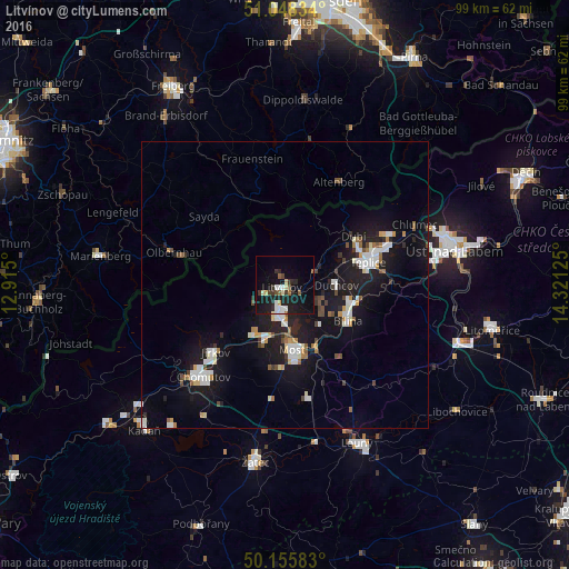
Analysis of Litvínov night lights 2016
Square area 10x10 km:
 2.81%
2.81%90-99
3.07%80-89
2.14%70-79
0.53%60-69
0.94%50-59
2.27%40-49
1.47%30-39
3.07%20-29
4.41%10-19
24.6%0-9
54.68%Square area 50x50 km:
1.27%90-99
1.36%80-89
0.52%70-79
0.56%60-69
0.51%50-59
0.64%40-49
0.77%30-39
0.57%20-29
1.59%10-19
8.85%0-9
83.37%Clear (daylight) street map image can be seen on geolist.org.
Map coordinates:
51° 2' 54" North, 12° 54' 54" East
50° 36' 15.1" North, 13° 37' 5.2" East
50° 9' 21" North, 14° 19' 16.5" East
Some cities around Litvínov sort by population:
• Most
11.3 km =7 mi,  173°
173°
• Teplice
15.1 km =9.4 mi,  74°
74°
• Jirkov
16.7 km =10.4 mi,  226°
226°
• Bílina
12.7 km =7.9 mi,  119°
119°
• Bílina Kyselka
12.1 km =7.5 mi, 119°
• Krupka
19.1 km =11.9 mi,  62°
62°
• Duchcov
9 km =5.6 mi,  90°
90°
• Dubí
14.9 km =9.3 mi,  52°
52°
3071665 (p: 27,022)
Sources (retrieved 2019-11-25):
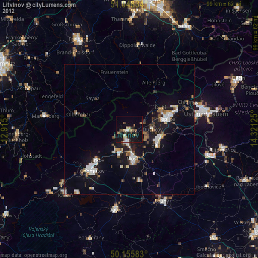
» Earth at Night: Flat Maps 2012, 2016