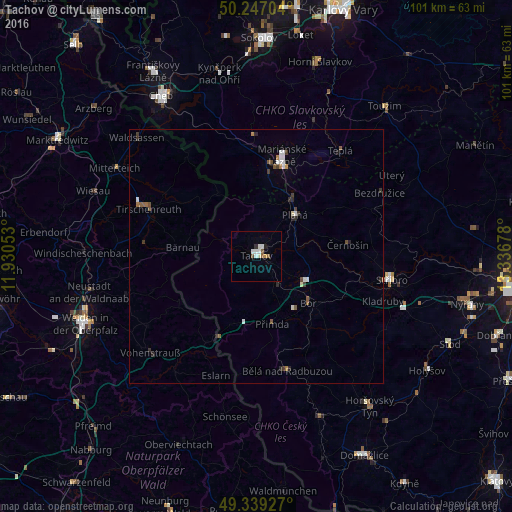
Tachov night lights from space
Night Light of Tachov (Plzeňský kraj) from space (Czech Republic) Src. Average luminocity for 10x10km area is 7.0936% and for 50x50km: 1.2935%.
Analysis of Tachov night lights 2016
Square area 10x10 km:
 1.47%
1.47%90-99
2.27%80-89
0%70-79
0.53%60-69
0.13%50-59
1.47%40-49
0.53%30-39
0.27%20-29
0.67%10-19
0.13%0-9
92.51%Square area 50x50 km:
0.21%90-99
0.25%80-89
0.04%70-79
0.06%60-69
0.12%50-59
0.28%40-49
0.19%30-39
0.24%20-29
0.31%10-19
0.04%0-9
98.26%Clear (daylight) street map image can be seen on geolist.org.
Map coordinates:
50° 14' 49.3" North, 11° 55' 49.9" East
49° 47' 43" North, 12° 38' 1.1" East
49° 20' 21.4" North, 13° 20' 12.4" East
Some cities around Tachov sort by population:
• Mariánské Lázně
19.4 km =12.1 mi,  14°
14°
• Tirschenreuth, DE
23.8 km =14.8 mi,  294°
294°
• Stříbro
26.5 km =16.5 mi,  99°
99°
• Vohenstrauß, DE
28.5 km =17.7 mi,  228°
228°
• Waldsassen, DE
32.9 km =20.4 mi,  314°
314°
• Mitterteich, DE
33 km =20.5 mi,  301°
301°
• Neustadt an der Waldnaab, DE
33.5 km =20.8 mi,  258°
258°
• Planá
11.3 km =7 mi,  44°
44°
3064373 (p: 12,640)
Sources (retrieved 2019-11-25):
» Earth at Night: Flat Maps 2012, 2016