Světlá nad Sázavou night lights from space
Night Light of Světlá nad Sázavou (Vysočina) from space (Czech Republic) Src. Average luminocity for 10x10km area is 1.8329% and for 50x50km: 1.261%.
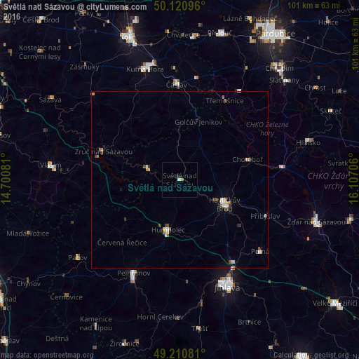
Analysis of Světlá nad Sázavou night lights 2016
Square area 10x10 km:
 0.4%
0.4%90-99
0.13%80-89
0.53%70-79
0%60-69
0.53%50-59
0%40-49
0%30-39
0.4%20-29
0.13%10-19
0.8%0-9
97.06%Square area 50x50 km:
0.13%90-99
0.22%80-89
0.17%70-79
0.14%60-69
0.17%50-59
0.16%40-49
0.17%30-39
0.18%20-29
0.11%10-19
0.39%0-9
98.16%Clear (daylight) street map image can be seen on geolist.org.
Map coordinates:
50° 7' 15.5" North, 14° 42' 2.9" East
49° 40' 4.8" North, 15° 24' 14.1" East
49° 12' 38.9" North, 16° 6' 25.4" East
Some cities around Světlá nad Sázavou sort by population:
• Havlíčkův Brod
14.3 km =8.9 mi,  118°
118°
• Kutná Hora
32.7 km =20.3 mi,  342°
342°
• Pelhřimov
29.4 km =18.3 mi,  206°
206°
• Humpolec
14.4 km =8.9 mi,  192°
192°
• Čáslav
27 km =16.8 mi,  357°
357°
• Chotěboř
20 km =12.4 mi,  72°
72°
• Ledeč nad Sázavou
9.6 km =6 mi,  288°
288°
• Polná
30.3 km =18.8 mi,  131°
131°
3064510 (p: 7,037)
Sources (retrieved 2019-11-25):
» Earth at Night: Flat Maps 2012, 2016