Humpolec night lights from space
Night Light of Humpolec (Vysočina) from space (Czech Republic) Src. Average luminocity for 10x10km area is 5.8838% and for 50x50km: 2.2845%.
Analysis of Humpolec night lights 2016
Square area 10x10 km:
 0.84%
0.84%90-99
0.84%80-89
1.68%70-79
0%60-69
0.56%50-59
1.26%40-49
1.54%30-39
0%20-29
0%10-19
0.14%0-9
93.14%Square area 50x50 km:
0.47%90-99
0.42%80-89
0.19%70-79
0.18%60-69
0.19%50-59
0.25%40-49
0.27%30-39
0.24%20-29
0.22%10-19
1.42%0-9
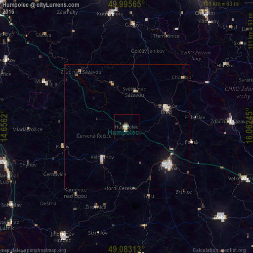
96.15%Clear (daylight) street map image can be seen on geolist.org.
Map coordinates:
49° 59' 44.3" North, 14° 39' 22.3" East
49° 32' 29.5" North, 15° 21' 33.6" East
49° 4' 59.3" North, 16° 3' 44.8" East
Some cities around Humpolec sort by population:
• Jihlava
23.3 km =14.5 mi,  133°
133°
• Havlíčkův Brod
17.5 km =10.9 mi,  65°
65°
• Pelhřimov
15.7 km =9.8 mi,  218°
218°
• Světlá nad Sázavou
14.4 km =8.9 mi,  12°
12°
• Ledeč nad Sázavou
18.1 km =11.2 mi,  341°
341°
• Třešť
29.2 km =18.1 mi,  162°
162°
• Pacov
27 km =16.8 mi,  253°
253°
• Polná
26.7 km =16.6 mi,  103°
103°
3074723 (p: 10,914)
Sources (retrieved 2019-11-25):
» Earth at Night: Flat Maps 2012, 2016