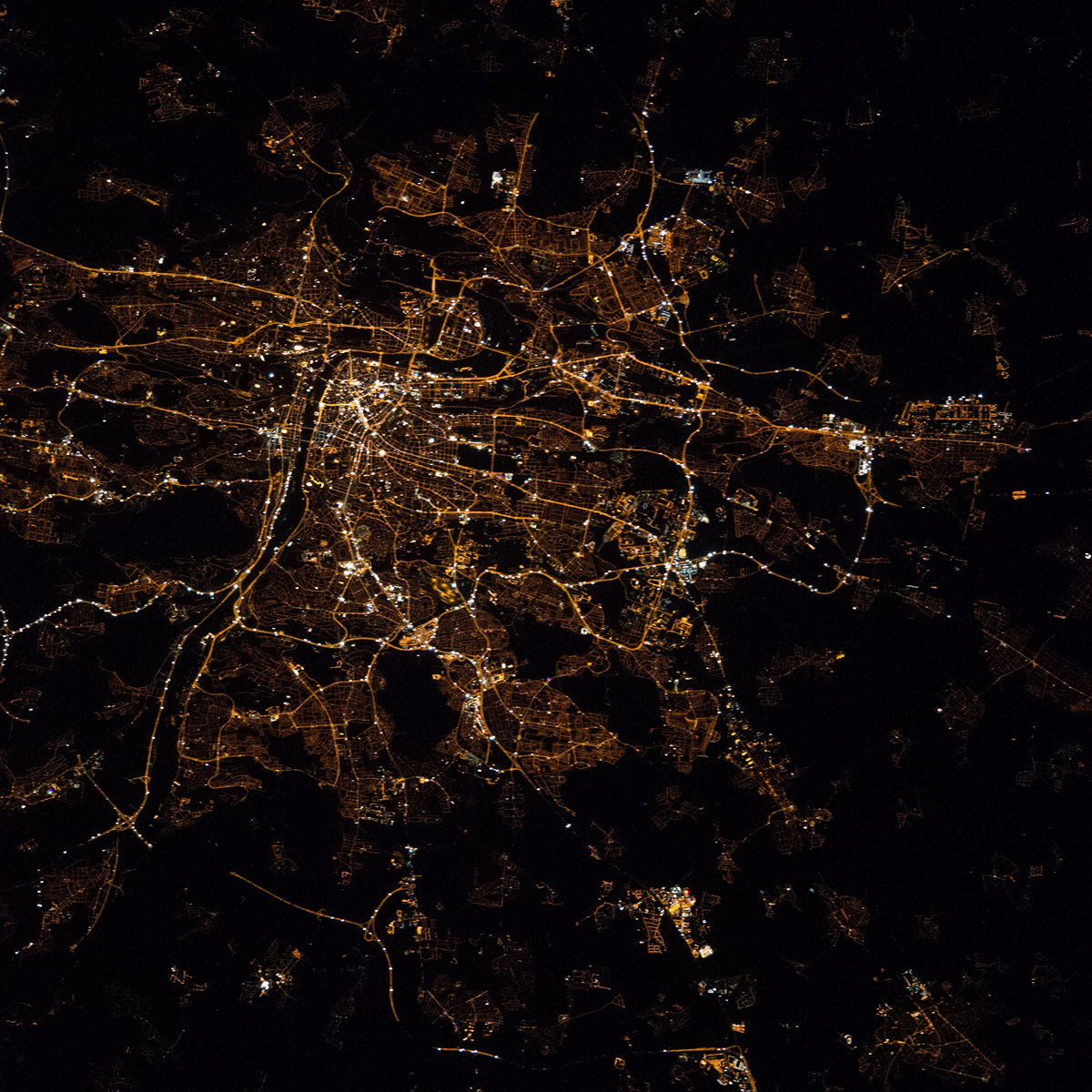
Prague night lights from space
Night Light of Prague (Hlavní město Praha) from space (Czech Republic) Src. Average luminocity for 10x10km area is 95.2367% and for 50x50km: 25.2712%.
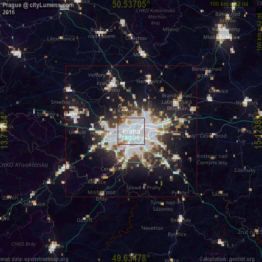
Analysis of Prague night lights 2016
Square area 10x10 km:
 72.13%
90-99
15.13%80-89
3.36%70-79
2.38%60-69
2.66%50-59
1.54%40-49
1.68%30-39
1.12%20-29
0%10-19
0%0-9
0%Square area 50x50 km:
7.89%90-99
5.25%80-89
1.59%70-79
1.81%60-69
2.12%50-59
2.33%40-49
2.5%30-39
3.32%20-29
5.4%10-19
15.06%0-9
52.75%Clear (daylight) street map image can be seen on geolist.org.
Map coordinates:
50° 32' 13.4" North, 13° 43' 3.5" East
50° 5' 16.9" North, 14° 25' 14.7" East
49° 38' 5.2" North, 15° 7' 26" East
Fantastic image of Prague from space taken by astronauts [src2], but I don't have information about it's orientation, scale or angle. If necessary, it was rotated manually, so North points approximately to upper direction. Click to zoom in:
Some cities around Prague sort by population:
• Libeň
4.4 km =2.7 mi,  59°
59°
• Braník
5.9 km =3.7 mi,  183°
183°
• Prosek
6.8 km =4.2 mi, 63°
• Střížkov
6.7 km =4.2 mi,  50°
50°
• Karlín
2 km =1.2 mi,  74°
74°
• Vysočany
7.2 km =4.5 mi, 70°
• Staré Město
0.1 km =0.1 mi,  197°
197°
• Malá Strana
1.2 km =0.7 mi,  268°
268°
3067696 (p: 1,165,581)
Sources (retrieved 2019-11-25):
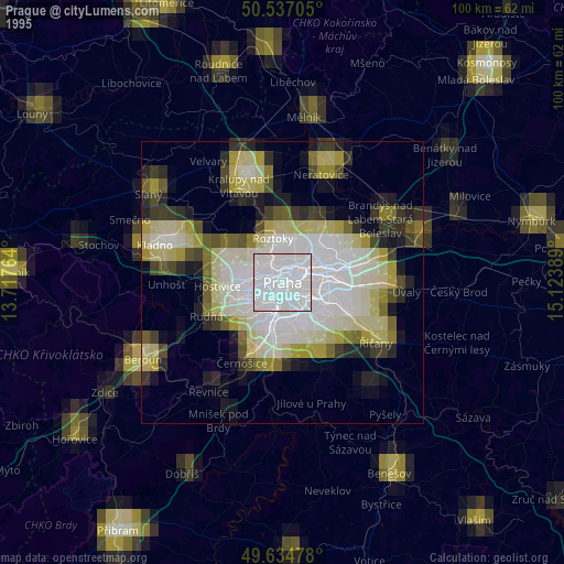
» NASA, Earths city lights 1995
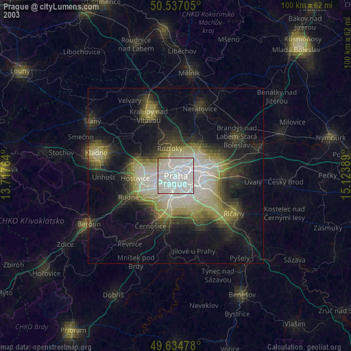
» NASA city lights 2003
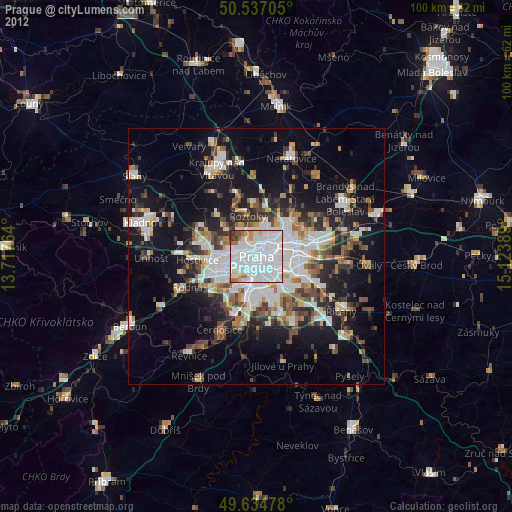
» Earth at Night: Flat Maps 2012, 2016
Src.2: NASA.gov ID: ISS045-E-164266, 2015-12-06