Dačice night lights from space
Night Light of Dačice (Jihočeský kraj) from space (Czech Republic) Src. Average luminocity for 10x10km area is 1.8389% and for 50x50km: 0.5289%.
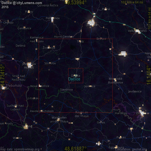
Analysis of Dačice night lights 2016
Square area 10x10 km:
 0%
0%90-99
0.28%80-89
0.84%70-79
0.28%60-69
0.28%50-59
0.14%40-49
0.42%30-39
0%20-29
0%10-19
0%0-9
97.76%Square area 50x50 km:
0.02%90-99
0.06%80-89
0.09%70-79
0.1%60-69
0.07%50-59
0.17%40-49
0.12%30-39
0.11%20-29
0.11%10-19
0.05%0-9
99.11%Clear (daylight) street map image can be seen on geolist.org.
Map coordinates:
49° 32' 23.8" North, 14° 44' 2.9" East
49° 4' 53.5" North, 15° 26' 14.2" East
48° 37' 7.9" North, 16° 8' 25.4" East
Some cities around Dačice sort by population:
• Jihlava
36.7 km =22.8 mi,  17°
17°
• Třebíč
35.6 km =22.1 mi,  65°
65°
• Jindřichův Hradec
32.4 km =20.1 mi,  282°
282°
• Pelhřimov
41.9 km =26 mi,  338°
338°
• Moravské Budějovice
27.3 km =17 mi,  96°
96°
• Třešť
23.5 km =14.6 mi,  7°
7°
• Telč
11.5 km =7.1 mi, 5°
• Horn, AT
49.3 km =30.6 mi,  160°
160°
3077304 (p: 7,958)
Sources (retrieved 2019-11-25):
» Earth at Night: Flat Maps 2012, 2016