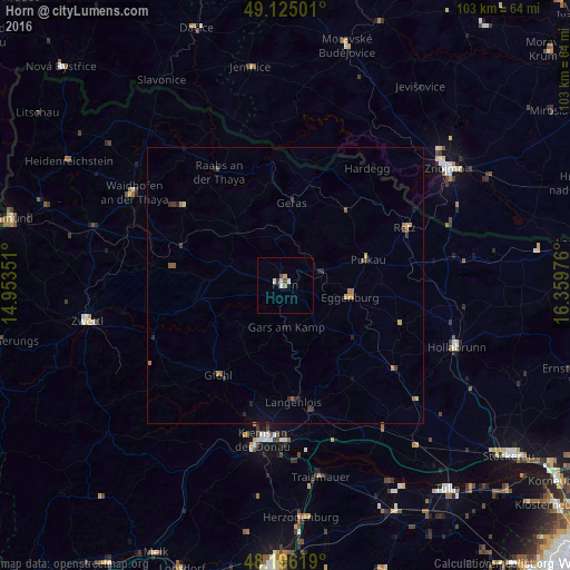
Horn night lights from space
Night Light of Horn (Lower Austria) from space (Austria) Src. Average luminocity for 10x10km area is 4.8051% and for 50x50km: 0.8473%.
Analysis of Horn night lights 2016
Square area 10x10 km:
 0.89%
0.89%90-99
1.49%80-89
0.15%70-79
0.45%60-69
0.6%50-59
0%40-49
1.19%30-39
0.6%20-29
0%10-19
0%0-9
94.64%Square area 50x50 km:
0.03%90-99
0.06%80-89
0.11%70-79
0.15%60-69
0.18%50-59
0.14%40-49
0.15%30-39
0.21%20-29
0.22%10-19
0.13%0-9
98.62%Clear (daylight) street map image can be seen on geolist.org.
Map coordinates:
49° 7' 30" North, 14° 57' 12.6" East
48° 39' 45.9" North, 15° 39' 23.9" East
48° 11' 46.3" North, 16° 21' 35.1" East
Some cities around Horn sort by population:
• Znojmo, CZ
35.9 km =22.3 mi,  53°
53°
• Weinzierl bei Krems
29.5 km =18.3 mi,  188°
188°
• Sankt Pölten
51.5 km =32 mi,  181°
181°
• Krems an der Donau
28.4 km =17.6 mi, 186°
• Tulln
47.5 km =29.5 mi,  141°
141°
• Moravské Budějovice, CZ
44.7 km =27.8 mi,  14°
14°
• Dačice, CZ
49.3 km =30.6 mi,  340°
340°
• Hollabrunn
33.8 km =21 mi,  111°
111°
2775516 (p: 5,494)
Sources (retrieved 2019-11-25):
» Earth at Night: Flat Maps 2012, 2016