Chomutov night lights from space
Night Light of Chomutov (Ústecký kraj) from space (Czech Republic) Src. Average luminocity for 10x10km area is 26.2941% and for 50x50km: 6.285%.
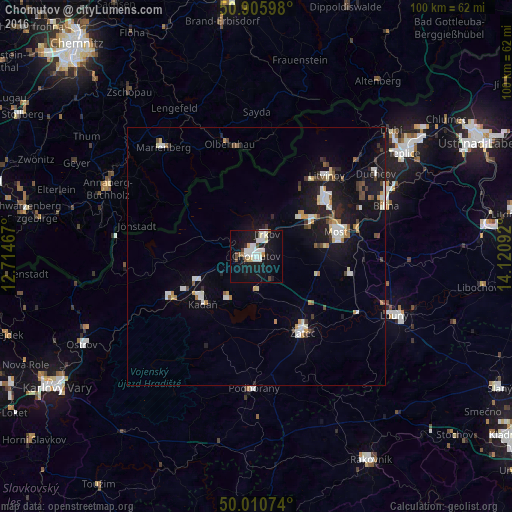
Analysis of Chomutov night lights 2016
Square area 10x10 km:
 7.98%
7.98%90-99
5.6%80-89
2.52%70-79
0.7%60-69
1.12%50-59
1.4%40-49
2.52%30-39
0.28%20-29
2.52%10-19
34.17%0-9
41.18%Square area 50x50 km:
1.07%90-99
1.19%80-89
0.47%70-79
0.56%60-69
0.47%50-59
0.47%40-49
0.81%30-39
0.51%20-29
1.11%10-19
6.35%0-9
87%Clear (daylight) street map image can be seen on geolist.org.
Map coordinates:
50° 54' 21.5" North, 12° 42' 52.8" East
50° 27' 37.7" North, 13° 25' 4" East
50° 0' 38.7" North, 14° 7' 15.3" East
Some cities around Chomutov sort by population:
• Most
16.2 km =10.1 mi,  72°
72°
• Litvínov
21.4 km =13.3 mi,  41°
41°
• Jirkov
4.9 km =3 mi,  25°
25°
• Žatec
17.4 km =10.8 mi,  148°
148°
• Kadaň
13.7 km =8.5 mi,  231°
231°
• Klášterec nad Ohří
18.4 km =11.4 mi,  244°
244°
• Olbernhau, DE
22.7 km =14.1 mi,  346°
346°
• Podbořany
25.7 km =16 mi,  180°
180°
3077685 (p: 50,251)
Sources (retrieved 2019-11-25):
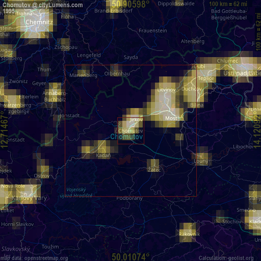
» NASA, Earths city lights 1995
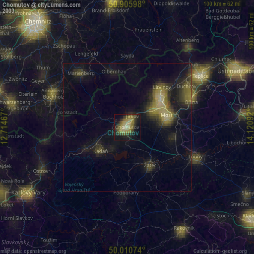
» NASA city lights 2003
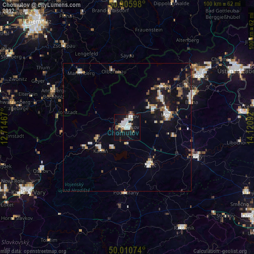
» Earth at Night: Flat Maps 2012, 2016