Bohumín night lights from space
Night Light of Bohumín (Moravskoslezský) from space (Czech Republic) Src. Average luminocity for 10x10km area is 26.1303% and for 50x50km: 22.784%.
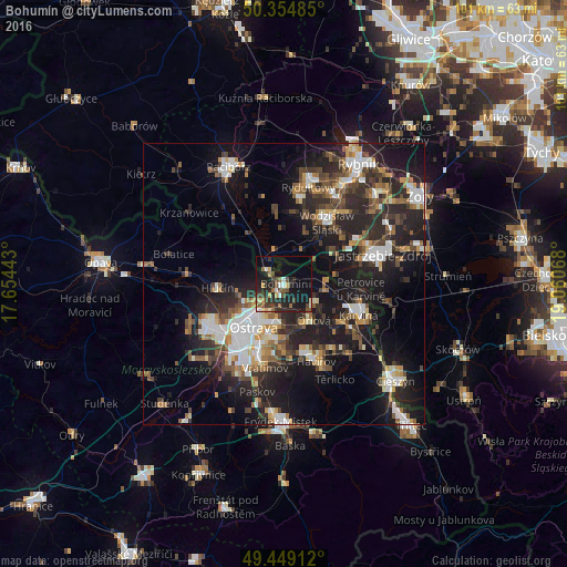
Analysis of Bohumín night lights 2016
Square area 10x10 km:
 1.26%
1.26%90-99
3.22%80-89
2.38%70-79
3.08%60-69
2.8%50-59
4.34%40-49
6.44%30-39
4.48%20-29
12.89%10-19
27.45%0-9
31.65%Square area 50x50 km:
3.78%90-99
3.76%80-89
1.61%70-79
2.31%60-69
2.61%50-59
2.97%40-49
4.09%30-39
3.55%20-29
9.35%10-19
18.4%0-9
47.58%Clear (daylight) street map image can be seen on geolist.org.
Map coordinates:
50° 21' 17.5" North, 17° 39' 15.9" East
49° 54' 14.8" North, 18° 21' 27.2" East
49° 26' 56.8" North, 19° 3' 38.4" East
Some cities around Bohumín sort by population:
• Ostrava
9.4 km =5.8 mi,  215°
215°
• Wodzisław Śląski, PL
13.8 km =8.6 mi,  36°
36°
• Orlová
8.4 km =5.2 mi,  141°
141°
• Starý Bohumín
2.1 km =1.3 mi,  312°
312°
• Hlučín
11.9 km =7.4 mi,  266°
266°
• Petřvald
8.4 km =5.2 mi,  164°
164°
• Rychvald
4.4 km =2.7 mi, 162°
• Šenov
12.4 km =7.7 mi,  173°
173°
3079129 (p: 23,075)
Sources (retrieved 2019-11-25):
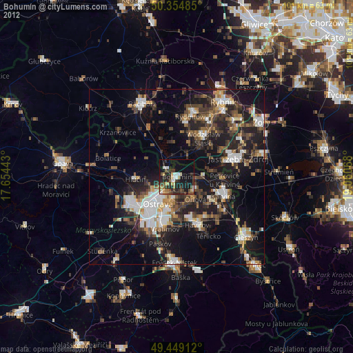
» Earth at Night: Flat Maps 2012, 2016