Nicosia night lights from space
Night Light of Nicosia from space (Cyprus) Src. Average luminocity for 10x10km area is 86.8042% and for 50x50km: 23.7449%.
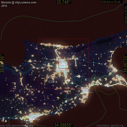
Analysis of Nicosia night lights 2016
Square area 10x10 km:
 36.19%
90-99
30.77%80-89
11.54%70-79
3.67%60-69
2.1%50-59
4.72%40-49
6.47%30-39
3.85%20-29
0.7%10-19
0%0-9
0%Square area 50x50 km:
2.51%90-99
4.66%80-89
4.01%70-79
3.07%60-69
1.73%50-59
1.94%40-49
3.84%30-39
4.2%20-29
8.1%10-19
16.69%0-9
49.25%Clear (daylight) street map image can be seen on geolist.org.
Map coordinates:
35° 44' 52.8" North, 32° 39' 39.9" East
35° 10' 31.1" North, 33° 21' 51.1" East
34° 35' 54.8" North, 34° 4' 2.4" East
Some cities around Nicosia sort by population:
• Kyrenia
18.4 km =11.4 mi,  346°
346°
• Mórfou
33.8 km =21 mi,  274°
274°
• Aradíppou
32.4 km =20.1 mi,  140°
140°
• Géri
9.3 km =5.8 mi,  146°
146°
• Dáli
17.7 km =11 mi,  162°
162°
• Tséri
12 km =7.5 mi,  198°
198°
• Livádia
34.5 km =21.4 mi, 136°
• Lápithos
25 km =15.5 mi,  316°
316°
146268 (p: 200,452)
Sources (retrieved 2019-11-25):
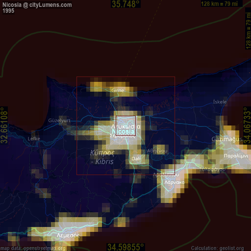
» NASA, Earths city lights 1995
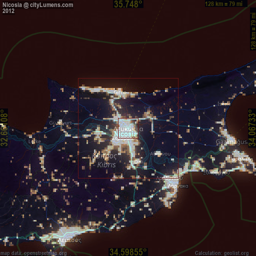
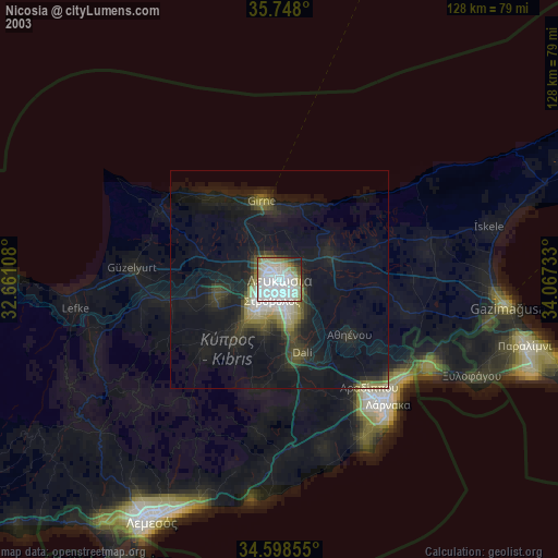
» NASA city lights 2003
» Earth at Night: Flat Maps 2012, 2016