Kyrenia night lights from space
Night Light of Kyrenia (Keryneia) from space (Cyprus) Src. Average luminocity for 10x10km area is 42.7326% and for 50x50km: 15.4354%.
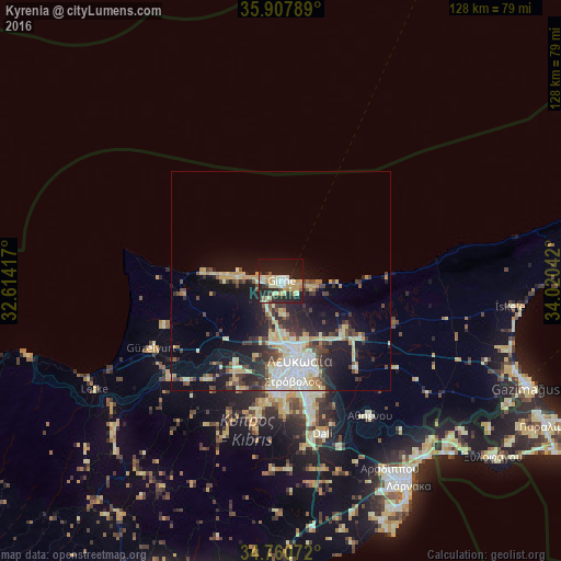
Analysis of Kyrenia night lights 2016
Square area 10x10 km:
 3.48%
3.48%90-99
11.36%80-89
8.06%70-79
9.34%60-69
1.47%50-59
2.2%40-49
1.1%30-39
5.49%20-29
21.25%10-19
30.22%0-9
6.04%Square area 50x50 km:
2.07%90-99
3.14%80-89
2.41%70-79
2.05%60-69
0.98%50-59
1.11%40-49
2.46%30-39
2.63%20-29
4.89%10-19
10.02%0-9
68.24%Clear (daylight) street map image can be seen on geolist.org.
Map coordinates:
35° 54' 28.4" North, 32° 36' 51" East
35° 20' 10.8" North, 33° 19' 2.2" East
34° 45' 38.6" North, 34° 1' 13.5" East
Some cities around Kyrenia sort by population:
• Nicosia
18.4 km =11.4 mi,  166°
166°
• Pérgamos
48.3 km =30 mi,  132°
132°
• Mórfou
33.1 km =20.6 mi,  242°
242°
• Léfka
49.2 km =30.6 mi, 239°
• Géri
27.3 km =17 mi,  160°
160°
• Dáli
36.1 km =22.4 mi, 164°
• Tséri
29.3 km =18.2 mi,  178°
178°
• Lápithos
13 km =8.1 mi,  270°
270°
146412 (p: 26,701)
Sources (retrieved 2019-11-25):
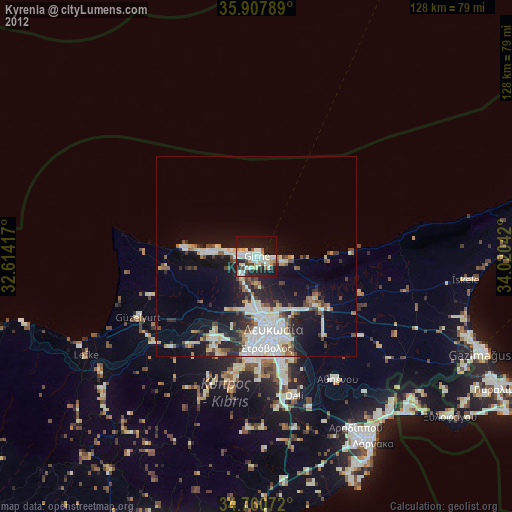
» Earth at Night: Flat Maps 2012, 2016