Tarrafal de São Nicolau night lights from space
Night Light of Tarrafal de São Nicolau from space (Cape Verde) Src. Average luminocity for 10x10km area is 1.1667% and for 50x50km: 0.091%.
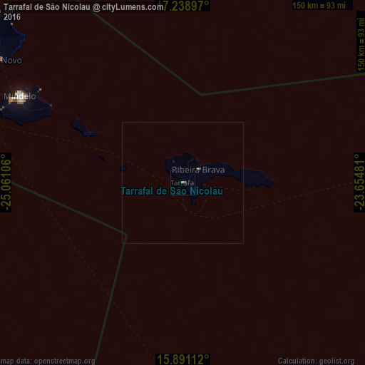
Analysis of Tarrafal de São Nicolau night lights 2016
Square area 10x10 km:
 0%
0%90-99
0%80-89
0%70-79
0.87%60-69
0%50-59
0%40-49
0.87%30-39
0%20-29
0%10-19
0%0-9
98.27%Square area 50x50 km:
0%90-99
0%80-89
0%70-79
0.03%60-69
0%50-59
0.03%40-49
0.07%30-39
0%20-29
0%10-19
0.03%0-9
99.83%Clear (daylight) street map image can be seen on geolist.org.
Map coordinates:
17° 14' 20.3" North, 25° 3' 39.8" West
16° 33' 58.4" North, 24° 21' 28.5" West
15° 53' 28" North, 23° 39' 17.3" West
Some cities around Tarrafal de São Nicolau sort by population:
• Mindelo
75.4 km =46.9 mi,  298°
298°
• Santa Maria
154.9 km =96.3 mi,  88°
88°
• Espargos
152 km =94.4 mi,  82°
82°
• Porto Novo
90.6 km =56.3 mi, 303°
• Ribeira Brava
8.4 km =5.2 mi,  49°
49°
• Ribeira Grande
101.8 km =63.3 mi,  312°
312°
• Sal Rei
159.7 km =99.2 mi,  105°
105°
• Pombas
95.8 km =59.5 mi, 312°
3374165 (p: 5,039)
Sources (retrieved 2019-11-25):
» Earth at Night: Flat Maps 2012, 2016