Ranchuelo night lights from space
Night Light of Ranchuelo (Villa Clara) from space (Cuba) Src. Average luminocity for 10x10km area is 7.7708% and for 50x50km: 6.8115%.
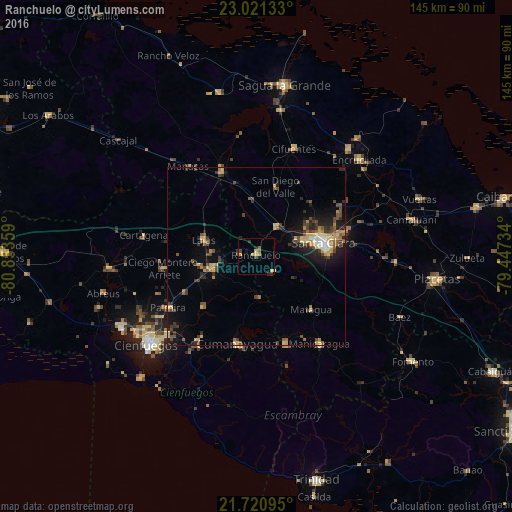
Analysis of Ranchuelo night lights 2016
Square area 10x10 km:
 0%
0%90-99
0%80-89
3.03%70-79
1.89%60-69
0%50-59
1.52%40-49
1.14%30-39
1.52%20-29
1.7%10-19
1.33%0-9
87.88%Square area 50x50 km:
0.22%90-99
0.35%80-89
1.43%70-79
1.27%60-69
0.49%50-59
1.12%40-49
1.82%30-39
1.31%20-29
1.81%10-19
3.85%0-9
86.33%Clear (daylight) street map image can be seen on geolist.org.
Map coordinates:
23° 1' 16.8" North, 80° 51' 12.9" West
22° 22' 21.6" North, 80° 9' 1.7" West
21° 43' 15.4" North, 79° 26' 50.4" West
Some cities around Ranchuelo sort by population:
• Santa Clara
19.5 km =12.1 mi,  78°
78°
• Santo Domingo
25.6 km =15.9 mi,  338°
338°
• Manicaragua
30.4 km =18.9 mi,  144°
144°
• Cumanayagua
25.1 km =15.6 mi,  192°
192°
• Cruces
12.8 km =8 mi,  254°
254°
• Palmira
28.7 km =17.8 mi,  239°
239°
• Lajas
15.4 km =9.6 mi,  287°
287°
• Esperanza
9.9 km =6.2 mi,  33°
33°
3542744 (p: 43,695)
Sources (retrieved 2019-11-25):
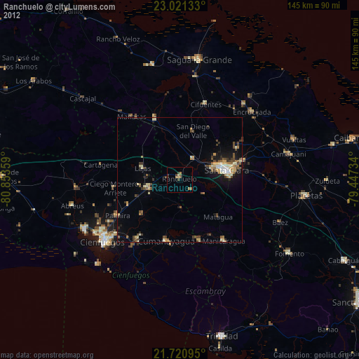
» Earth at Night: Flat Maps 2012, 2016