Lajas night lights from space
Night Light of Lajas (Cienfuegos) from space (Cuba) Src. Average luminocity for 10x10km area is 9.8201% and for 50x50km: 4.3718%.
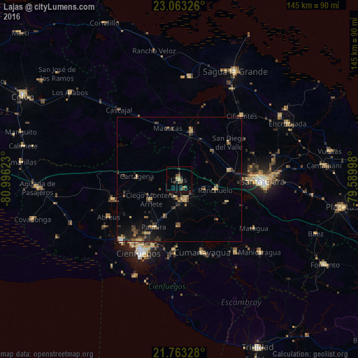
Analysis of Lajas night lights 2016
Square area 10x10 km:
 0%
0%90-99
0%80-89
1.7%70-79
0.76%60-69
0.57%50-59
3.41%40-49
3.41%30-39
1.7%20-29
2.65%10-19
1.7%0-9
84.09%Square area 50x50 km:
0.05%90-99
0.02%80-89
0.9%70-79
0.6%60-69
0.4%50-59
0.8%40-49
1.13%30-39
1.15%20-29
1.37%10-19
2.59%0-9
91%Clear (daylight) street map image can be seen on geolist.org.
Map coordinates:
23° 3' 47.7" North, 80° 59' 46.4" West
22° 24' 53.2" North, 80° 17' 35.2" West
21° 45' 47.8" North, 79° 35' 23.9" West
Some cities around Lajas sort by population:
• Santo Domingo
19.8 km =12.3 mi,  15°
15°
• Ranchuelo
15.4 km =9.6 mi,  107°
107°
• Cumanayagua
30.6 km =19 mi,  162°
162°
• Cruces
8.4 km =5.2 mi, 163°
• Palmira
21.8 km =13.5 mi,  207°
207°
• Rodas
28.2 km =17.5 mi,  253°
253°
• Abreus
32.2 km =20 mi,  241°
241°
• Esperanza
20.5 km =12.7 mi,  79°
79°
3553343 (p: 22,602)
Sources (retrieved 2019-11-25):
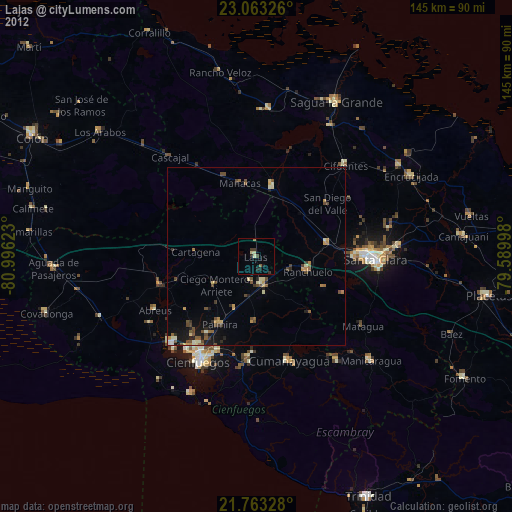
» Earth at Night: Flat Maps 2012, 2016