Jiguaní night lights from space
Night Light of Jiguaní (Granma) from space (Cuba) Src. Average luminocity for 10x10km area is 5.3939% and for 50x50km: 5.6814%.
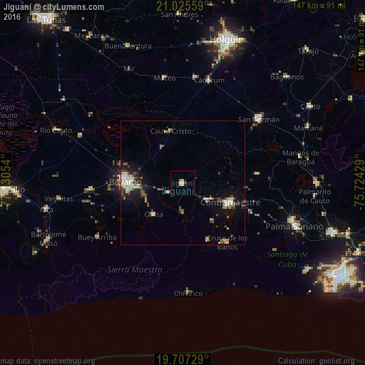
Analysis of Jiguaní night lights 2016
Square area 10x10 km:
 0%
0%90-99
0.38%80-89
2.46%70-79
0.19%60-69
1.14%50-59
0.76%40-49
0.76%30-39
0.38%20-29
0.38%10-19
0%0-9
93.56%Square area 50x50 km:
0.43%90-99
1.06%80-89
0.92%70-79
0.47%60-69
0.53%50-59
0.85%40-49
1.13%30-39
0.84%20-29
1.04%10-19
3.58%0-9
89.16%Clear (daylight) street map image can be seen on geolist.org.
Map coordinates:
21° 1' 32.1" North, 77° 7' 49.9" West
20° 22' 4.3" North, 76° 25' 38.7" West
19° 42' 26.2" North, 75° 43' 27.4" West
Some cities around Jiguaní sort by population:
• Bayamo
22.5 km =14 mi,  271°
271°
• Palma Soriano
48.5 km =30.1 mi,  111°
111°
• Contramaestre
20.5 km =12.7 mi, 111°
• San Germán
40 km =24.9 mi,  49°
49°
• Cacocum
42.5 km =26.4 mi,  14°
14°
• Río Cauto
55.3 km =34.4 mi,  292°
292°
• Cauto Cristo
21.6 km =13.4 mi,  347°
347°
• Guisa
17.1 km =10.6 mi,  222°
222°
3556168 (p: 41,106)
Sources (retrieved 2019-11-25):
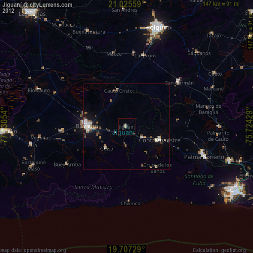
» Earth at Night: Flat Maps 2012, 2016