San Miguel night lights from space
Night Light of San Miguel (San José) from space (Costa Rica) Src. Average luminocity for 10x10km area is 67.7252% and for 50x50km: 29.1058%.
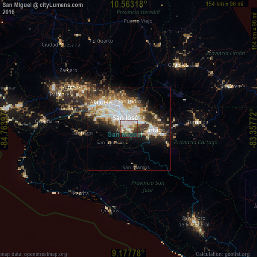
Analysis of San Miguel night lights 2016
Square area 10x10 km:
 23.76%
90-99
17.77%80-89
5.79%70-79
5.58%60-69
10.54%50-59
4.96%40-49
5.17%30-39
4.55%20-29
10.95%10-19
10.95%0-9
0%Square area 50x50 km:
7.89%90-99
6.16%80-89
2.81%70-79
2.69%60-69
4.13%50-59
3.7%40-49
3.75%30-39
4.11%20-29
5.75%10-19
8.48%0-9
50.52%Clear (daylight) street map image can be seen on geolist.org.
Map coordinates:
10° 33' 47.4" North, 84° 45' 50.3" West
9° 52' 16.4" North, 84° 3' 39" West
9° 10' 40" North, 83° 21' 27.8" West
Some cities around San Miguel sort by population:
• Curridabat
5.4 km =3.4 mi,  33°
33°
• Aserrí
3.7 km =2.3 mi,  248°
248°
• San Felipe
6.2 km =3.9 mi,  307°
307°
• Patarrá
3 km =1.9 mi,  69°
69°
• San Juan de Dios
2.7 km =1.7 mi,  284°
284°
• San Rafael Arriba
1.8 km =1.1 mi,  285°
285°
• Alajuelita
5.5 km =3.4 mi, 307°
• Salitrillos
3.9 km =2.4 mi,  237°
237°
3621753 (p: 28,827)
Sources (retrieved 2019-11-25):
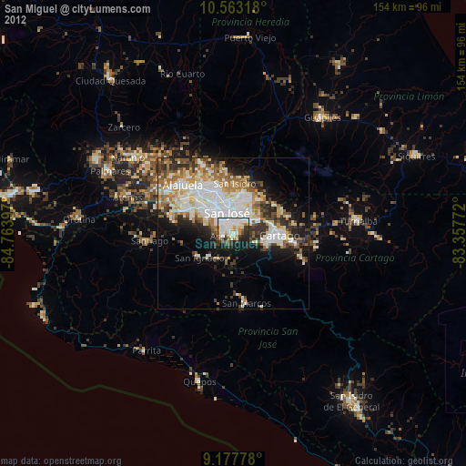
» Earth at Night: Flat Maps 2012, 2016