San Felipe night lights from space
Night Light of San Felipe (San José) from space (Costa Rica) Src. Average luminocity for 10x10km area is 82.9959% and for 50x50km: 30.78%.
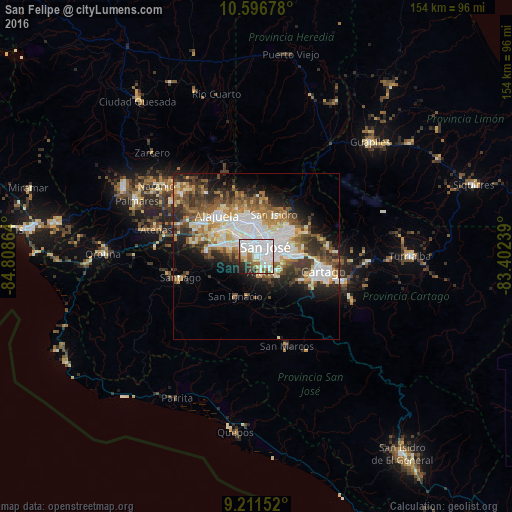
Analysis of San Felipe night lights 2016
Square area 10x10 km:
 47.93%
90-99
17.36%80-89
5.99%70-79
0.83%60-69
8.88%50-59
4.75%40-49
2.48%30-39
3.1%20-29
7.23%10-19
1.45%0-9
0%Square area 50x50 km:
7.86%90-99
6.41%80-89
2.98%70-79
2.81%60-69
4.53%50-59
4.23%40-49
4.44%30-39
4.43%20-29
6.36%10-19
8.58%0-9
47.38%Clear (daylight) street map image can be seen on geolist.org.
Map coordinates:
10° 35' 48.4" North, 84° 48' 31.1" West
9° 54' 17.6" North, 84° 6' 19.8" West
9° 12' 41.5" North, 83° 24' 8.6" West
Some cities around San Felipe sort by population:
• San José
4 km =2.5 mi,  37°
37°
• Aserrí
5.3 km =3.3 mi,  164°
164°
• San Rafael
4.3 km =2.7 mi,  306°
306°
• Colima
5.6 km =3.5 mi,  23°
23°
• San Juan de Dios
3.8 km =2.4 mi,  143°
143°
• San Rafael Arriba
4.5 km =2.8 mi, 135°
• Alajuelita
0.7 km =0.4 mi,  122°
122°
• Escazú
4.1 km =2.5 mi,  292°
292°
3621922 (p: 24,985)
Sources (retrieved 2019-11-25):
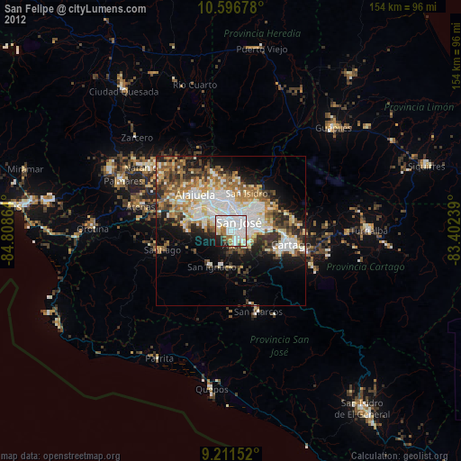
» Earth at Night: Flat Maps 2012, 2016