Yarumal night lights from space
Night Light of Yarumal (Antioquia) from space (Colombia) Src. Average luminocity for 10x10km area is 3.9069% and for 50x50km: 0.4174%.

Analysis of Yarumal night lights 2016
Square area 10x10 km:
 0.87%
0.87%90-99
1.73%80-89
0.87%70-79
0%60-69
0%50-59
0%40-49
0%30-39
0%20-29
0%10-19
0%0-9
96.54%Square area 50x50 km:
0.03%90-99
0.1%80-89
0.03%70-79
0%60-69
0.1%50-59
0.11%40-49
0.04%30-39
0.06%20-29
0.07%10-19
0.05%0-9
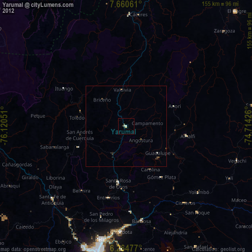
99.39%Clear (daylight) street map image can be seen on geolist.org.
Map coordinates:
7° 39' 38.2" North, 76° 7' 13.8" West
6° 57' 47.6" North, 75° 25' 2.6" West
6° 15' 53.2" North, 74° 42' 51.3" West
Some cities around Yarumal sort by population:
• Barbosa
59.2 km =36.8 mi,  170°
170°
• Ituango
44.7 km =27.8 mi,  301°
301°
• Santa Rosa de Osos
35.4 km =22 mi,  187°
187°
• Donmatías
53.2 km =33.1 mi,  177°
177°
• Amalfi
38 km =23.6 mi,  98°
98°
• San Pedro
57.9 km =36 mi,  195°
195°
• Cisneros
59.6 km =37 mi,  142°
142°
• Yolombó
60.5 km =37.6 mi,  132°
132°
3665741 (p: 22,368)
Sources (retrieved 2019-11-25):
» Earth at Night: Flat Maps 2012, 2016