Villamaría night lights from space
Night Light of Villamaría (Caldas) from space (Colombia) Src. Average luminocity for 10x10km area is 52.6653% and for 50x50km: 9.6499%.
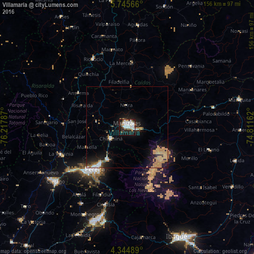
Analysis of Villamaría night lights 2016
Square area 10x10 km:
 16.32%
90-99
15.91%80-89
4.96%70-79
1.65%60-69
2.69%50-59
6.2%40-49
0.83%30-39
7.85%20-29
14.67%10-19
26.24%0-9
2.69%Square area 50x50 km:
1.17%90-99
1.28%80-89
0.81%70-79
3.38%60-69
0.81%50-59
0.77%40-49
0.48%30-39
1.11%20-29
2.99%10-19
7.08%0-9
80.11%Clear (daylight) street map image can be seen on geolist.org.
Map coordinates:
5° 44' 44.4" North, 76° 13' 4.3" West
5° 2' 44.3" North, 75° 30' 53.1" West
4° 20' 41.6" North, 74° 48' 41.8" West
Some cities around Villamaría sort by population:
• Manizales
2.6 km =1.6 mi,  353°
353°
• Chinchiná
12.1 km =7.5 mi,  234°
234°
• Santa Rosa de Cabal
23 km =14.3 mi,  210°
210°
• Neira
13.4 km =8.3 mi,  357°
357°
• Marsella
27.5 km =17.1 mi,  243°
243°
• Aranzazu
25.2 km =15.7 mi,  6°
6°
• Palestina
13 km =8.1 mi,  255°
255°
• Filadelfia
28.3 km =17.6 mi, 349°
3665973 (p: 35,302)
Sources (retrieved 2019-11-25):
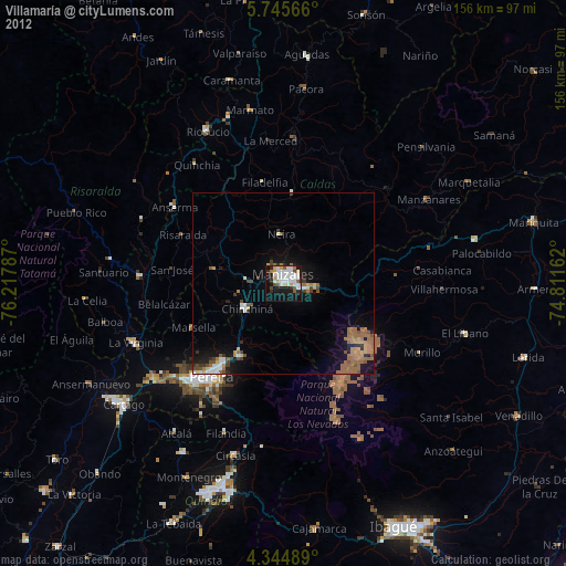
» Earth at Night: Flat Maps 2012, 2016