Manizales night lights from space
Night Light of Manizales (Caldas) from space (Colombia) Src. Average luminocity for 10x10km area is 51.345% and for 50x50km: 7.9453%.
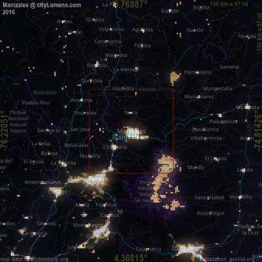
Analysis of Manizales night lights 2016
Square area 10x10 km:
 16.12%
90-99
15.7%80-89
4.96%70-79
1.24%60-69
3.1%50-59
5.37%40-49
1.03%30-39
6.82%20-29
11.78%10-19
29.34%0-9
4.55%Square area 50x50 km:
0.9%90-99
0.97%80-89
0.77%70-79
2.65%60-69
0.62%50-59
0.66%40-49
0.33%30-39
1.01%20-29
2.39%10-19
6.37%0-9
83.33%Clear (daylight) street map image can be seen on geolist.org.
Map coordinates:
5° 46' 7.9" North, 76° 13' 13.8" West
5° 4' 8" North, 75° 31' 2.6" West
4° 22' 5.3" North, 74° 48' 51.3" West
Some cities around Manizales sort by population:
• Chinchiná
13.5 km =8.4 mi,  224°
224°
• Santa Rosa de Cabal
25.1 km =15.6 mi,  207°
207°
• Villamaría
2.6 km =1.6 mi,  173°
173°
• Neira
10.9 km =6.8 mi,  358°
358°
• Marsella
28.5 km =17.7 mi,  239°
239°
• Aranzazu
22.7 km =14.1 mi,  7°
7°
• Palestina
13.6 km =8.5 mi, 244°
• Filadelfia
25.7 km =16 mi,  349°
349°
3675443 (p: 357,814)
Sources (retrieved 2019-11-25):
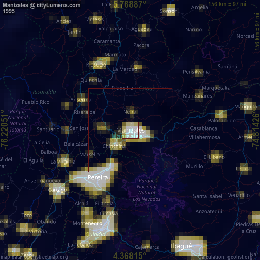
» NASA, Earths city lights 1995
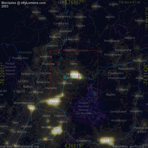
» NASA city lights 2003
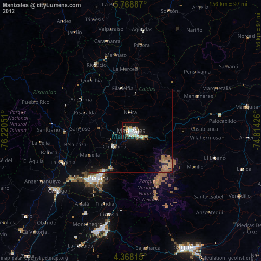
» Earth at Night: Flat Maps 2012, 2016