Filadelfia night lights from space
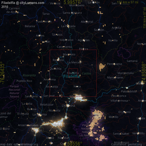
Night Light of Filadelfia (Caldas) from space (Colombia) Src. Average luminocity for 10x10km area is 0.4277% and for 50x50km: 1.8032%.
Analysis of Filadelfia night lights 2016
Square area 10x10 km:
 0%
0%90-99
0%80-89
0%70-79
0%60-69
0%50-59
0%40-49
0%30-39
0.83%20-29
0.41%10-19
0%0-9
98.76%Square area 50x50 km:
0.23%90-99
0.25%80-89
0.21%70-79
0.15%60-69
0.23%50-59
0.2%40-49
0.17%30-39
0.37%20-29
0.48%10-19
1.39%0-9
96.32%Clear (daylight) street map image can be seen on geolist.org.
Map coordinates:
5° 59' 44.8" North, 76° 15' 51.6" West
5° 17' 45.8" North, 75° 33' 40.3" West
4° 35' 44" North, 74° 51' 29.1" West
Some cities around Filadelfia sort by population:
• Manizales
25.7 km =16 mi,  169°
169°
• Anserma
25.8 km =16 mi,  279°
279°
• Riosucio
21 km =13 mi,  311°
311°
• Salamina
14.8 km =9.2 mi,  33°
33°
• Supía
20.1 km =12.5 mi,  330°
330°
• Neira
15.1 km =9.4 mi,  162°
162°
• Quinchía
19.3 km =12 mi, 284°
• Aranzazu
8.3 km =5.2 mi,  109°
109°
3682481 (p: 5,064)
Sources (retrieved 2019-11-25):
» Earth at Night: Flat Maps 2012, 2016