Anserma night lights from space
Night Light of Anserma (Risaralda) from space (Colombia) Src. Average luminocity for 10x10km area is 1.3058% and for 50x50km: 1.0489%.
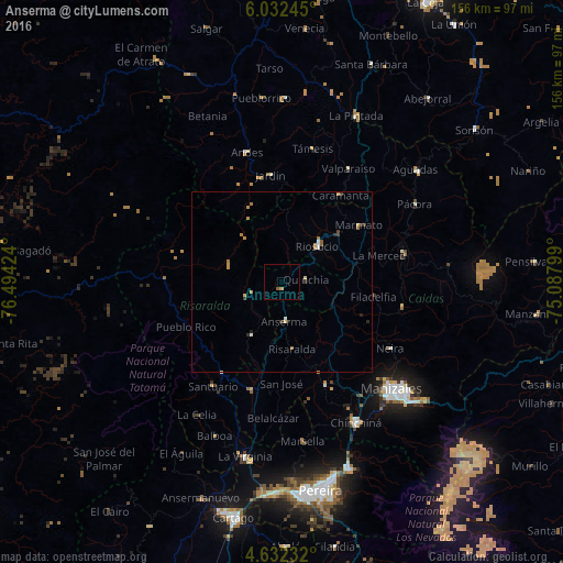
Analysis of Anserma night lights 2016
Square area 10x10 km:
 0%
0%90-99
0%80-89
0%70-79
0.83%60-69
0%50-59
0.83%40-49
0%30-39
0%20-29
0%10-19
0%0-9
98.35%Square area 50x50 km:
0.07%90-99
0.11%80-89
0.12%70-79
0.33%60-69
0.24%50-59
0.13%40-49
0.04%30-39
0.23%20-29
0.16%10-19
0.04%0-9
98.53%Clear (daylight) street map image can be seen on geolist.org.
Map coordinates:
6° 1' 56.8" North, 76° 29' 39.3" West
5° 19' 58" North, 75° 47' 28" West
4° 37' 56.4" North, 75° 5' 16.8" West
Some cities around Anserma sort by population:
• Riosucio
13.9 km =8.6 mi,  44°
44°
• Belén de Umbría
17 km =10.6 mi,  210°
210°
• Supía
20.5 km =12.7 mi,  49°
49°
• Quinchía
6.8 km =4.2 mi,  83°
83°
• Jardín
29.8 km =18.5 mi,  353°
353°
• Mistrató
11 km =6.8 mi,  248°
248°
• Risaralda
18.7 km =11.6 mi,  171°
171°
• Filadelfia
25.8 km =16 mi,  99°
99°
3689833 (p: 25,242)
Sources (retrieved 2019-11-25):
» Earth at Night: Flat Maps 2012, 2016