Coello night lights from space
Night Light of Coello (Tolima) from space (Colombia) Src. Average luminocity for 10x10km area is 11.25% and for 50x50km: 5.2124%.
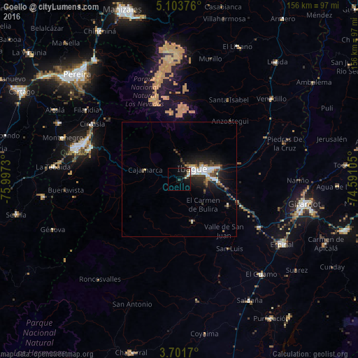
Analysis of Coello night lights 2016
Square area 10x10 km:
 0.62%
0.62%90-99
2.27%80-89
1.65%70-79
0.83%60-69
0.83%50-59
0.83%40-49
2.07%30-39
1.65%20-29
1.45%10-19
14.05%0-9
73.76%Square area 50x50 km:
1.04%90-99
0.87%80-89
0.37%70-79
0.36%60-69
0.39%50-59
0.52%40-49
1.06%30-39
0.9%20-29
1.59%10-19
3.94%0-9
88.97%Clear (daylight) street map image can be seen on geolist.org.
Map coordinates:
5° 6' 13.5" North, 75° 59' 50.3" West
4° 24' 11" North, 75° 17' 39" West
3° 42' 6.1" North, 74° 35' 27.8" West
Some cities around Coello sort by population:
• Ibagué
7.9 km =4.9 mi,  59°
59°
• Calarcá
40.9 km =25.4 mi,  290°
290°
• Payandé
24.8 km =15.4 mi,  118°
118°
• Anaime
16.7 km =10.4 mi,  267°
267°
• Chicoral
40.4 km =25.1 mi, 121°
• Cajamarca
15.5 km =9.6 mi, 286°
• Rovira
19.2 km =11.9 mi,  161°
161°
• Playarrica
40.6 km =25.2 mi,  198°
198°
3686141 (p: 9,887)
Sources (retrieved 2019-11-25):
» Earth at Night: Flat Maps 2012, 2016