Bijie night lights from space
Night Light of Bijie (Guizhou) from space (China) Src. Average luminocity for 10x10km area is 34.6496% and for 50x50km: 3.0397%.
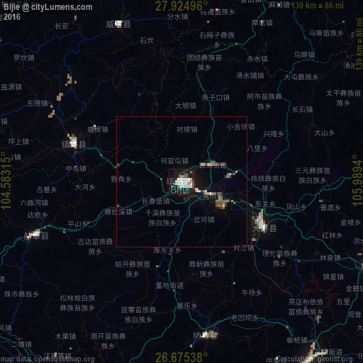
Analysis of Bijie night lights 2016
Square area 10x10 km:
 9.47%
9.47%90-99
8.71%80-89
0.57%70-79
2.46%60-69
1.52%50-59
5.11%40-49
4.17%30-39
1.7%20-29
4.55%10-19
40.53%0-9
21.21%Square area 50x50 km:
0.48%90-99
0.46%80-89
0.04%70-79
0.14%60-69
0.35%50-59
0.69%40-49
0.64%30-39
0.4%20-29
0.36%10-19
2.42%0-9
94.03%Clear (daylight) street map image can be seen on geolist.org.
Map coordinates:
27° 55' 29.9" North, 104° 34' 59.3" East
27° 18' 6.9" North, 105° 17' 10.6" East
26° 40' 31.4" North, 105° 59' 21.8" East
Some cities around Bijie sort by population:
• Guiyang
162.7 km =101.1 mi,  119°
119°
• Zunyi
165.5 km =102.8 mi,  75°
75°
• Anshun
133.4 km =82.9 mi,  151°
151°
• Liupanshui
90.6 km =56.3 mi,  209°
209°
• Yibin
175.4 km =109 mi,  338°
338°
• Zhaotong
155.1 km =96.4 mi,  270°
270°
• Xunchang
139.9 km =86.9 mi, 336°
• Weining
115.7 km =71.9 mi,  244°
244°
1816373 (p: 77,645)
Sources (retrieved 2019-11-25):
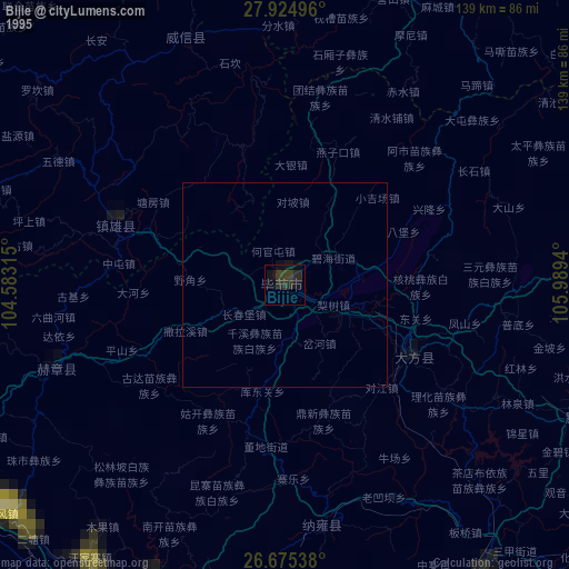
» NASA, Earths city lights 1995
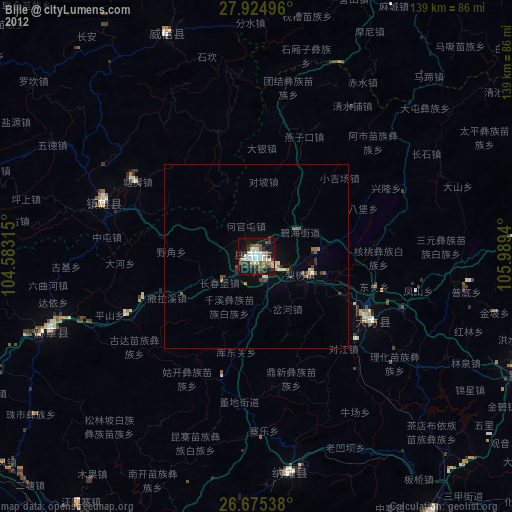
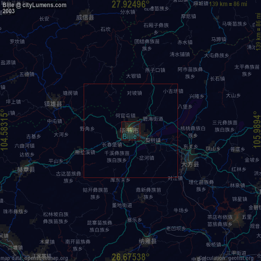
» NASA city lights 2003
» Earth at Night: Flat Maps 2012, 2016