Yiwu night lights from space
Night Light of Yiwu (Zhejiang) from space (China) Src. Average luminocity for 10x10km area is 94.1212% and for 50x50km: 33.1924%.
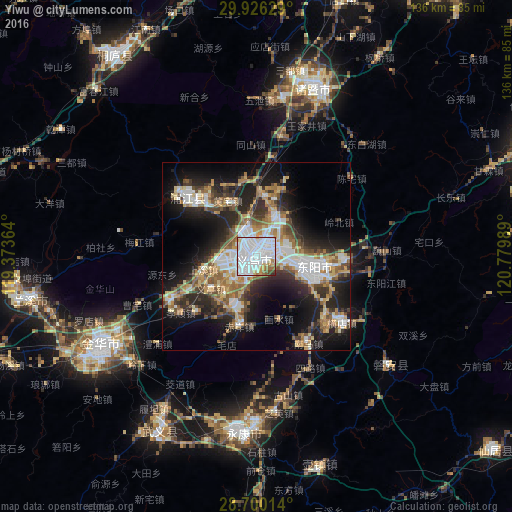
Analysis of Yiwu night lights 2016
Square area 10x10 km:
 58.14%
90-99
25.38%80-89
4.17%70-79
3.98%60-69
4.36%50-59
1.33%40-49
2.08%30-39
0.38%20-29
0.19%10-19
0%0-9
0%Square area 50x50 km:
7.03%90-99
5.55%80-89
3.32%70-79
4.22%60-69
4.91%50-59
4.8%40-49
4.26%30-39
5.05%20-29
9.32%10-19
15.96%0-9
35.59%Clear (daylight) street map image can be seen on geolist.org.
Map coordinates:
29° 55' 34.6" North, 119° 22' 25.1" East
29° 18' 54.2" North, 120° 4' 36.3" East
28° 42' 0.5" North, 120° 46' 47.6" East
Some cities around Yiwu sort by population:
• Puyang
24.1 km =15 mi,  310°
310°
• Guli
48.4 km =30.1 mi,  185°
185°
• Jinhua
47.9 km =29.8 mi,  241°
241°
• Dongyang
15.3 km =9.5 mi,  110°
110°
• Zhuji
47.7 km =29.6 mi,  19°
19°
• Lanxi
59.7 km =37.1 mi,  259°
259°
• Fuyang
83 km =51.6 mi,  351°
351°
• Xianju
81.7 km =50.8 mi,  128°
128°
1814870 (p: 89,629)
Sources (retrieved 2019-11-25):
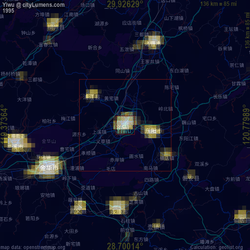
» NASA, Earths city lights 1995
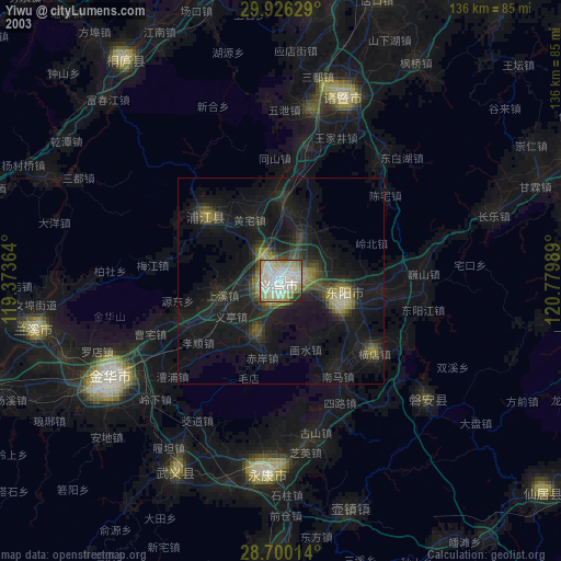
» NASA city lights 2003
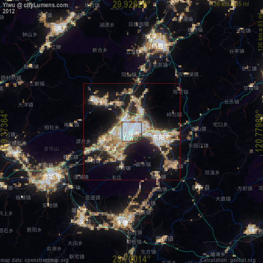
» Earth at Night: Flat Maps 2012, 2016