Fuyang night lights from space
Night Light of Fuyang (Zhejiang) from space (China) Src. Average luminocity for 10x10km area is 76.7633% and for 50x50km: 29.743%.
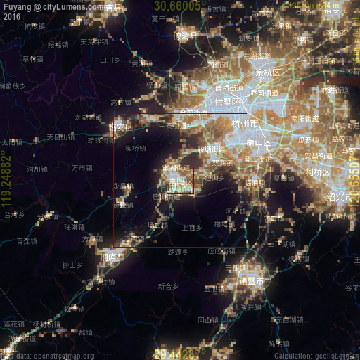
Analysis of Fuyang night lights 2016
Square area 10x10 km:
 18.37%
90-99
21.97%80-89
9.47%70-79
11.74%60-69
10.98%50-59
14.96%40-49
7.77%30-39
3.79%20-29
0.95%10-19
0%0-9
0%Square area 50x50 km:
4.76%90-99
4.94%80-89
3.39%70-79
4.64%60-69
5.52%50-59
5.54%40-49
4.07%30-39
4.37%20-29
6.08%10-19
10.24%0-9
46.45%Clear (daylight) street map image can be seen on geolist.org.
Map coordinates:
30° 39' 36.2" North, 119° 14' 55.8" East
30° 3' 12" North, 119° 57' 7" East
29° 26' 34.3" North, 120° 39' 18.3" East
Some cities around Fuyang sort by population:
• Hangzhou
33.5 km =20.8 mi,  37°
37°
• Puyang
66.6 km =41.4 mi,  185°
185°
• Shaoxing
60.6 km =37.7 mi,  95°
95°
• Zhuji
46.6 km =29 mi,  143°
143°
• Xiaoshan
32.1 km =19.9 mi,  66°
66°
• Yiwu
83 km =51.6 mi,  171°
171°
• Deqing
54.7 km =34 mi,  0°
0°
• Linping
52.8 km =32.8 mi, 38°
1810846 (p: 70,183)
Sources (retrieved 2019-11-25):
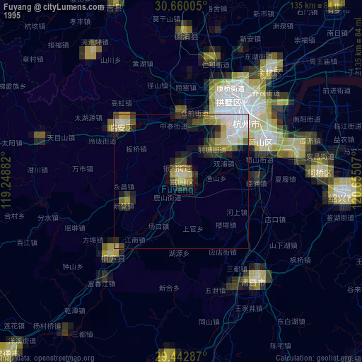
» NASA, Earths city lights 1995
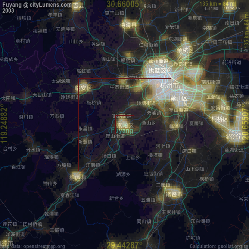
» NASA city lights 2003
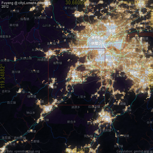
» Earth at Night: Flat Maps 2012, 2016