Xinzhi night lights from space
Night Light of Xinzhi (Shanxi) from space (China) Src. Average luminocity for 10x10km area is 14.7015% and for 50x50km: 3.8654%.
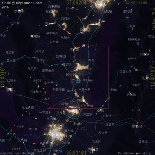
Analysis of Xinzhi night lights 2016
Square area 10x10 km:
 0%
0%90-99
0.18%80-89
4.95%70-79
0.73%60-69
2.2%50-59
0.55%40-49
1.1%30-39
4.4%20-29
2.2%10-19
21.98%0-9
61.72%Square area 50x50 km:
0.08%90-99
0.29%80-89
0.4%70-79
0.58%60-69
0.76%50-59
0.55%40-49
0.45%30-39
1.07%20-29
0.83%10-19
3.81%0-9
91.18%Clear (daylight) street map image can be seen on geolist.org.
Map coordinates:
37° 3' 43.3" North, 111° 0' 5.8" East
36° 29' 56" North, 111° 42' 17" East
35° 55' 53.8" North, 112° 24' 28.3" East
Some cities around Xinzhi sort by population:
• Taiyuan
170.2 km =105.8 mi,  26°
26°
• Changzhi
143.5 km =89.2 mi,  178°
178°
• Jincheng
150.3 km =93.4 mi,  137°
137°
• Yuci
159.9 km =99.4 mi, 34°
• Linfen
48.5 km =30.1 mi,  200°
200°
• Jiexiu
61.3 km =38.1 mi,  17°
17°
• Hancheng
162.8 km =101.2 mi,  224°
224°
• Gutao
88.8 km =55.2 mi, 28°
1788462 (p: 72,303)
Sources (retrieved 2019-11-25):
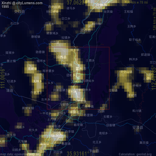
» NASA, Earths city lights 1995
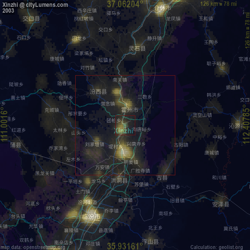
» NASA city lights 2003
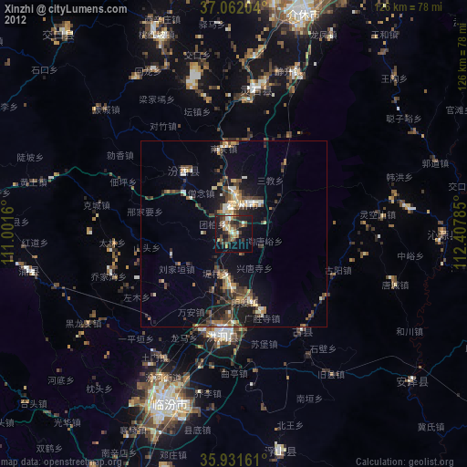
» Earth at Night: Flat Maps 2012, 2016