Xinxiang night lights from space
Night Light of Xinxiang (Henan) from space (China) Src. Average luminocity for 10x10km area is 45.1731% and for 50x50km: 18.2662%.
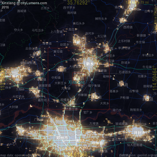
Analysis of Xinxiang night lights 2016
Square area 10x10 km:
 1.22%
1.22%90-99
7.34%80-89
6.82%70-79
7.17%60-69
6.47%50-59
11.54%40-49
9.62%30-39
15.38%20-29
11.89%10-19
21.15%0-9
1.4%Square area 50x50 km:
1.34%90-99
2.75%80-89
2.32%70-79
2.01%60-69
3.22%50-59
4.12%40-49
3.5%30-39
4.21%20-29
3.72%10-19
10.56%0-9
62.23%Clear (daylight) street map image can be seen on geolist.org.
Map coordinates:
35° 45' 46.5" North, 113° 5' 54.2" East
35° 11' 25.2" North, 113° 48' 5.4" East
34° 36' 49.2" North, 114° 30' 16.7" East
Some cities around Xinxiang sort by population:
• Zhengzhou
50.1 km =31.1 mi,  196°
196°
• Kaifeng
63.4 km =39.4 mi,  133°
133°
• Jiaozuo
51.9 km =32.2 mi,  276°
276°
• Hebi
86.4 km =53.7 mi,  24°
24°
• Xixiang
85.2 km =52.9 mi,  267°
267°
• Yigou
83.3 km =51.8 mi,  34°
34°
• Daokou
76.2 km =47.3 mi,  56°
56°
• Zijinglu
89.5 km =55.6 mi,  237°
237°
1788572 (p: 743,601)
Sources (retrieved 2019-11-25):
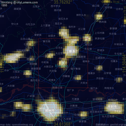
» NASA, Earths city lights 1995
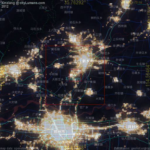
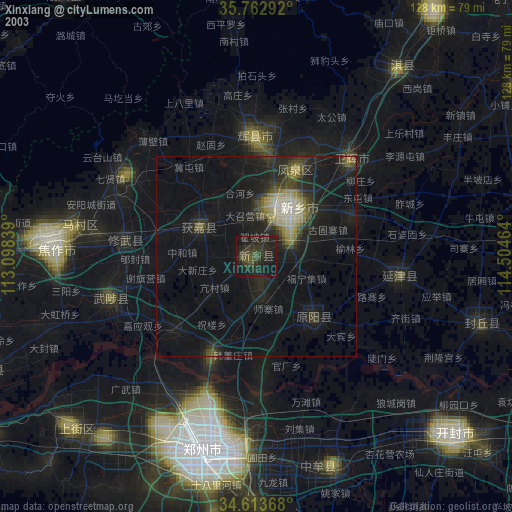
» NASA city lights 2003
» Earth at Night: Flat Maps 2012, 2016