Zijinglu night lights from space
Night Light of Zijinglu (Henan) from space (China) Src. Average luminocity for 10x10km area is 38.9634% and for 50x50km: 9.8301%.
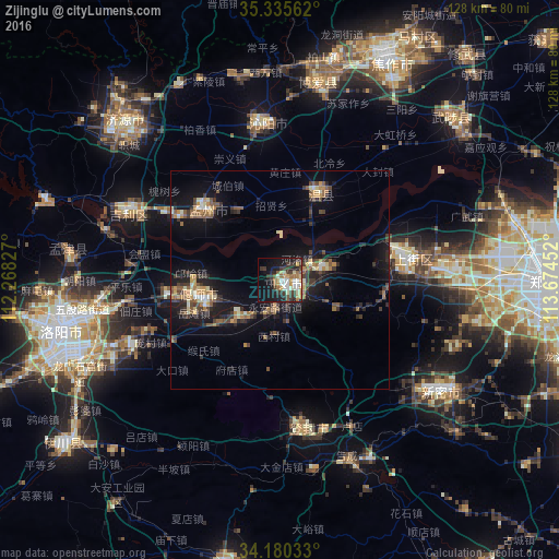
Analysis of Zijinglu night lights 2016
Square area 10x10 km:
 5.13%
5.13%90-99
7.69%80-89
4.03%70-79
6.96%60-69
4.95%50-59
4.4%40-49
1.47%30-39
15.02%20-29
9.16%10-19
22.89%0-9
18.32%Square area 50x50 km:
0.41%90-99
1.1%80-89
0.96%70-79
1.38%60-69
1.42%50-59
1.84%40-49
1.27%30-39
2.79%20-29
2.51%10-19
9.38%0-9
76.94%Clear (daylight) street map image can be seen on geolist.org.
Map coordinates:
35° 20' 8.2" North, 112° 16' 5.8" East
34° 45' 36" North, 112° 58' 17" East
34° 10' 49.2" North, 113° 40' 28.3" East
Some cities around Zijinglu sort by population:
• Zhengzhou
61.9 km =38.5 mi,  90°
90°
• Luoyang
48.1 km =29.9 mi,  259°
259°
• Xinxiang
89.5 km =55.6 mi,  57°
57°
• Jiaozuo
58.4 km =36.3 mi,  24°
24°
• Jincheng
83.5 km =51.9 mi,  351°
351°
• Yingchuan
80.3 km =49.9 mi,  145°
145°
• Songyang
34.3 km =21.3 mi,  171°
171°
• Xixiang
45.8 km =28.5 mi, 347°
1789897 (p: 56,033)
Sources (retrieved 2019-11-25):
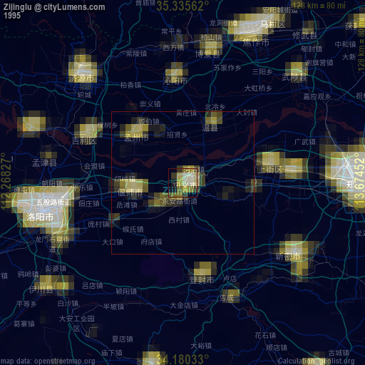
» NASA, Earths city lights 1995
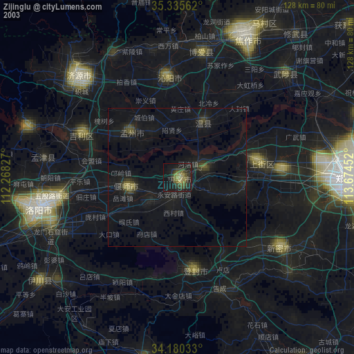
» NASA city lights 2003
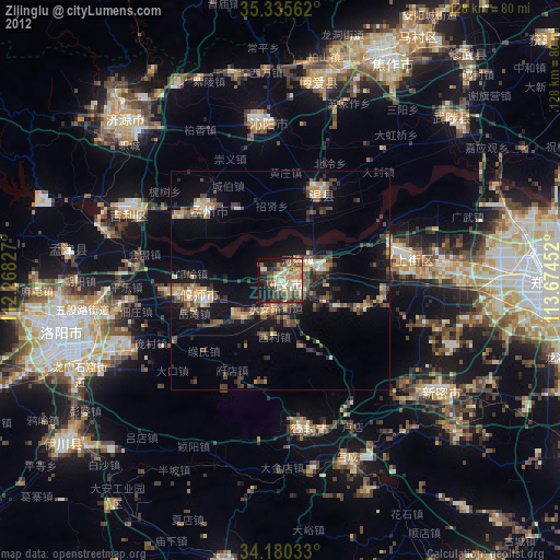
» Earth at Night: Flat Maps 2012, 2016