Xinji night lights from space
Night Light of Xinji (Hebei) from space (China) Src. Average luminocity for 10x10km area is 34.6055% and for 50x50km: 5.1655%.
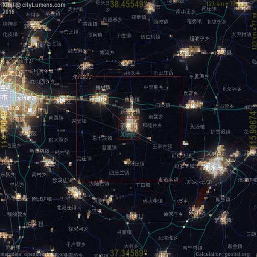
Analysis of Xinji night lights 2016
Square area 10x10 km:
 1.14%
1.14%90-99
7.79%80-89
6.01%70-79
5.36%60-69
6.98%50-59
6.98%40-49
2.76%30-39
4.38%20-29
5.84%10-19
24.19%0-9
28.57%Square area 50x50 km:
0.12%90-99
0.8%80-89
0.69%70-79
0.58%60-69
0.58%50-59
0.82%40-49
1.02%30-39
1.36%20-29
1.03%10-19
4.61%0-9
88.39%Clear (daylight) street map image can be seen on geolist.org.
Map coordinates:
38° 27' 19.8" North, 114° 30' 1.8" East
37° 54' 10" North, 115° 12' 13" East
37° 20' 45.2" North, 115° 54' 24.3" East
Some cities around Xinji sort by population:
• Shijiazhuang
65.4 km =40.6 mi,  283°
283°
• Baoding
108.4 km =67.4 mi,  13°
13°
• Luancheng
48.5 km =30.1 mi,  266°
266°
• Hengshui
47.6 km =29.6 mi,  113°
113°
• Dezhou
109.6 km =68.1 mi,  117°
117°
• Dingzhou
70.2 km =43.6 mi,  345°
345°
• Nangong
62.4 km =38.8 mi,  166°
166°
• Tianchang
104.7 km =65.1 mi, 275°
1788816 (p: 145,911)
Sources (retrieved 2019-11-25):
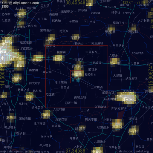
» NASA, Earths city lights 1995
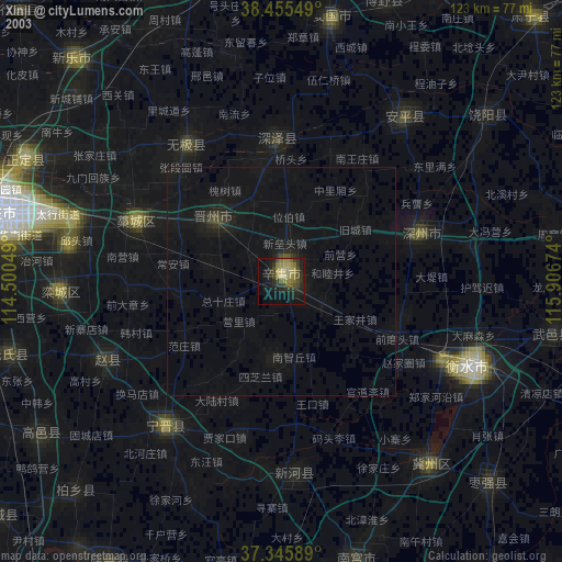
» NASA city lights 2003
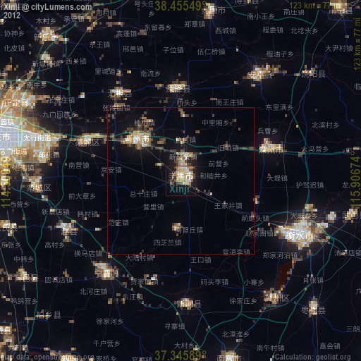
» Earth at Night: Flat Maps 2012, 2016