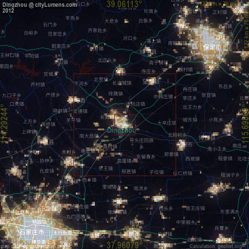
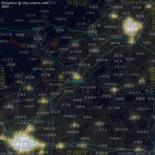
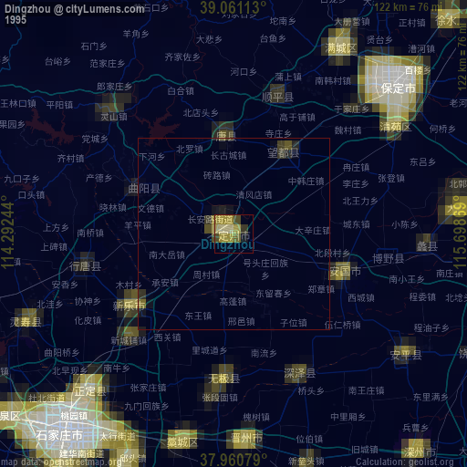
Dingzhou night lights from space
Night Light of Dingzhou (Hebei) from space (China) Src. Average luminocity for 10x10km area is 48.2744% and for 50x50km: 5.6957%.
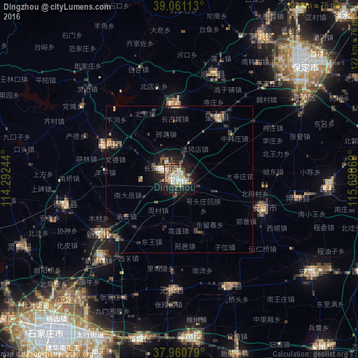
Analysis of Dingzhou night lights 2016
Square area 10x10 km:
 5.68%
5.68%90-99
12.01%80-89
10.23%70-79
4.38%60-69
3.73%50-59
5.68%40-49
10.39%30-39
7.47%20-29
10.55%10-19
24.19%0-9
5.68%Square area 50x50 km:
0.32%90-99
0.83%80-89
0.75%70-79
0.41%60-69
0.7%50-59
0.85%40-49
1.19%30-39
1.58%20-29
1.34%10-19
4.51%0-9
87.53%Clear (daylight) street map image can be seen on geolist.org.
Map coordinates:
39° 3' 40.1" North, 114° 17' 32.8" East
38° 30' 47" North, 114° 59' 44" East
37° 57' 38.8" North, 115° 41' 55.3" East
Some cities around Dingzhou sort by population:
• Shijiazhuang
69.2 km =43 mi,  220°
220°
• Baoding
57.1 km =35.5 mi,  48°
48°
• Luancheng
76.6 km =47.6 mi,  203°
203°
• Hengshui
106.5 km =66.2 mi,  144°
144°
• Xinji
70.2 km =43.6 mi,  165°
165°
• Renqiu
97.6 km =60.6 mi,  77°
77°
• Nangong
132.7 km =82.5 mi, 165°
• Tianchang
103 km =64 mi,  236°
236°
1812728 (p: 152,934)
Sources (retrieved 2019-11-25):
» NASA, Earths city lights 1995
» NASA city lights 2003
» Earth at Night: Flat Maps 2012, 2016