Baoding night lights from space
Night Light of Baoding (Hebei) from space (China) Src. Average luminocity for 10x10km area is 86.8112% and for 50x50km: 18.832%.
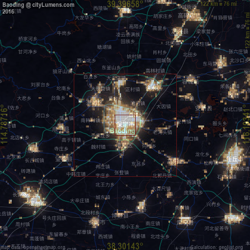

Analysis of Baoding night lights 2016
Square area 10x10 km:
 29.59%
90-99
26.53%80-89
12.41%70-79
13.78%60-69
11.39%50-59
4.59%40-49
1.7%30-39
0%20-29
0%10-19
0%0-9
0%Square area 50x50 km:
2.12%90-99
2.68%80-89
2.39%70-79
2.48%60-69
2.97%50-59
3.19%40-49
3.05%30-39
4.33%20-29
4.67%10-19
10.94%0-9
61.18%Clear (daylight) street map image can be seen on geolist.org.
Map coordinates:
39° 23' 47.7" North, 114° 47' 13.8" East
38° 51' 4" North, 115° 29' 25" East
38° 18' 5.1" North, 116° 11' 36.3" East
Some cities around Baoding sort by population:
• Shijiazhuang
126 km =78.3 mi,  224°
224°
• Hengshui
125.8 km =78.2 mi,  171°
171°
• Dingzhou
57.1 km =35.5 mi,  228°
228°
• Xinji
108.4 km =67.4 mi,  193°
193°
• Daxing
122.3 km =76 mi,  36°
36°
• Renqiu
55 km =34.2 mi,  107°
107°
• Fangshan
102.7 km =63.8 mi,  25°
25°
• Liangxiang
112.9 km =70.2 mi, 29°
1816971 (p: 995,652)
Sources (retrieved 2019-11-25):
» NASA, Earths city lights 1995
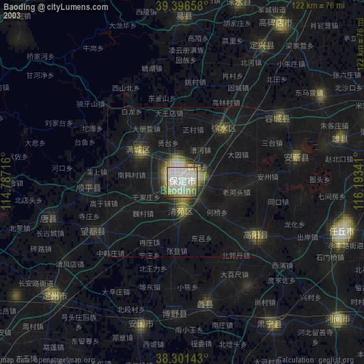
» NASA city lights 2003
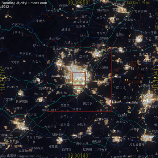
» Earth at Night: Flat Maps 2012, 2016